First road side overnighter Point Reyes

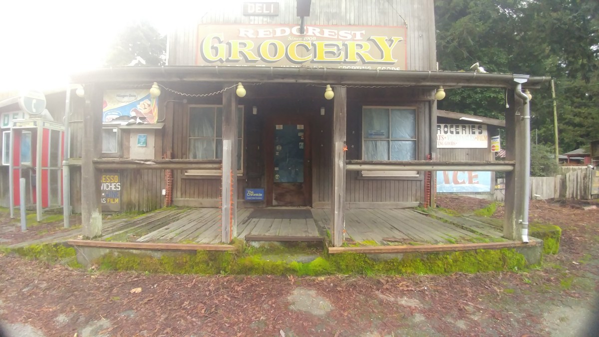
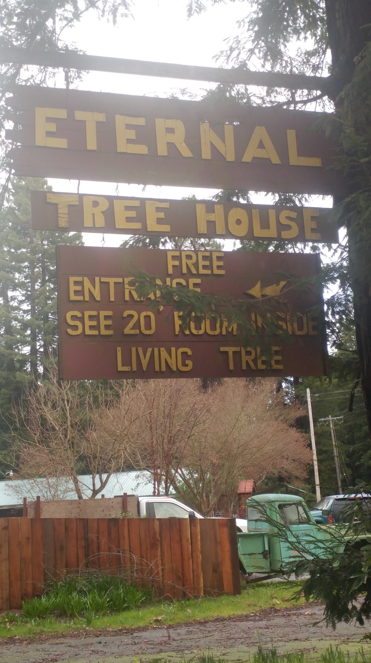
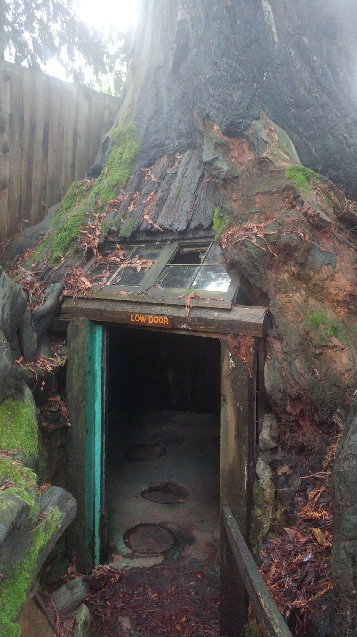
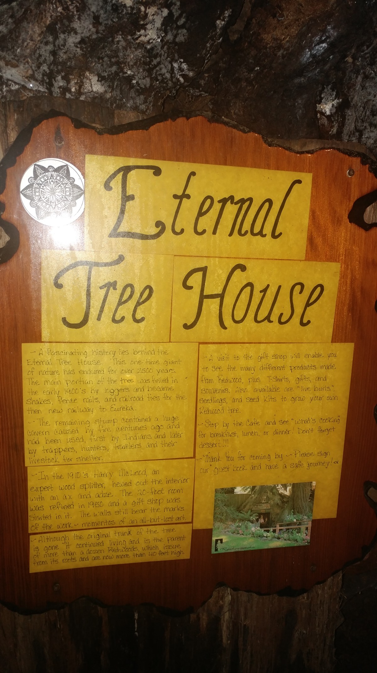
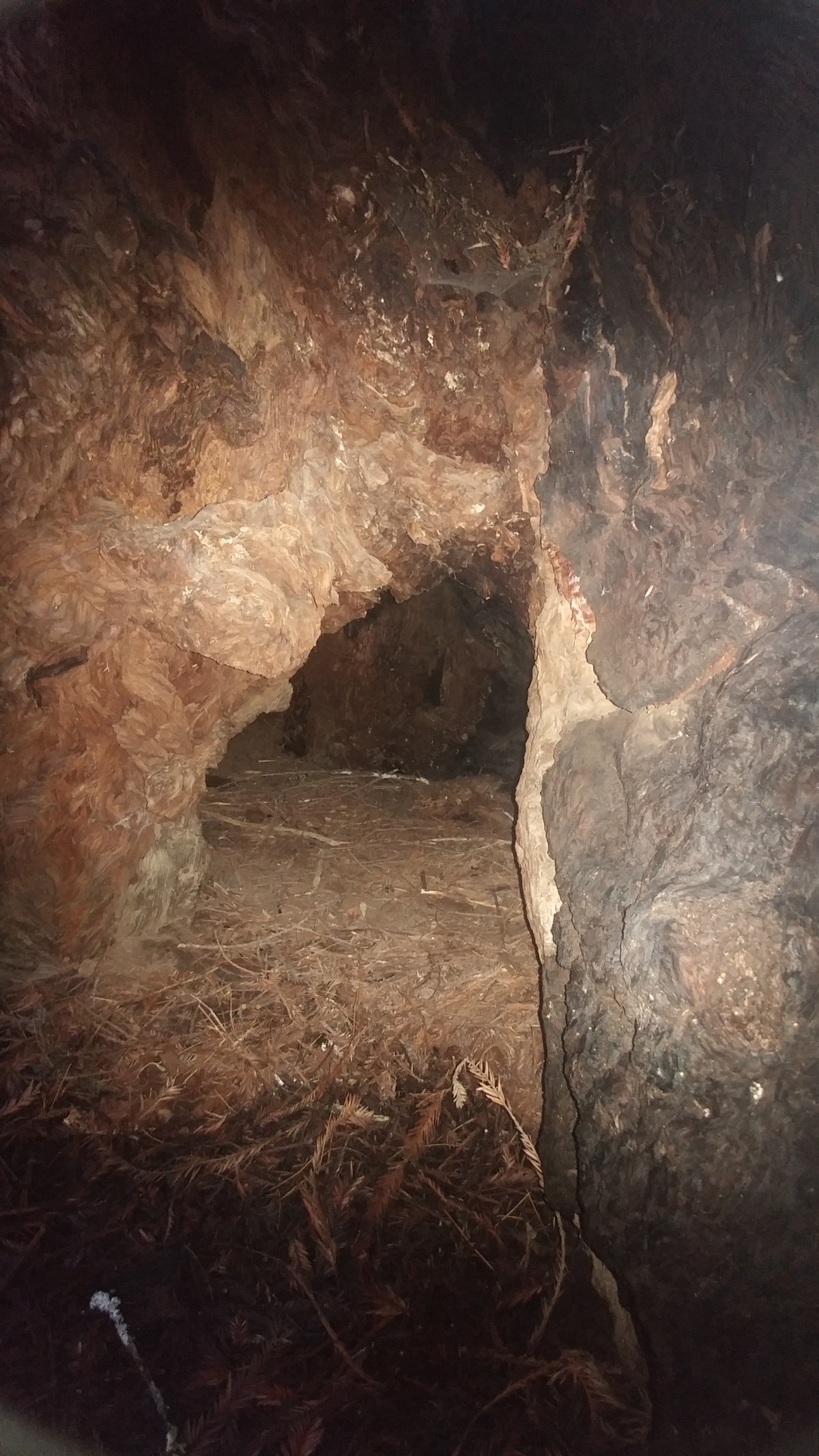
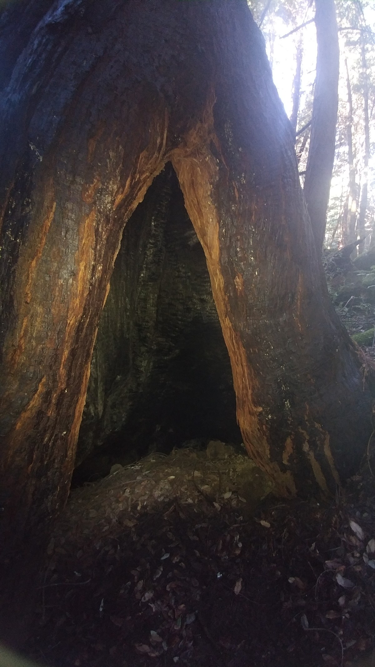
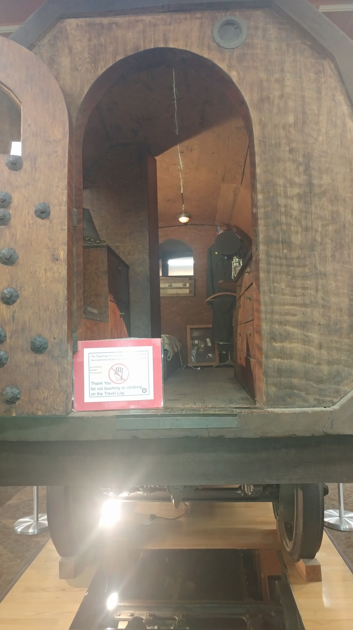
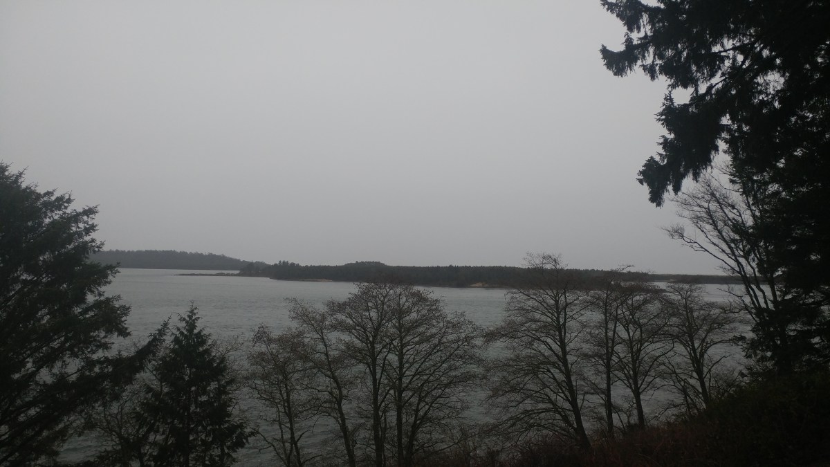
Soooo did not do this on purpose. Between no service, no place to stop, no service when there is a place to stop, fog and then finally blinding darkness I had to make the call. I plowed through a good portion of northern California. Upside is I ended up point reyes station, right next to point reyes national seashore, my next must see.

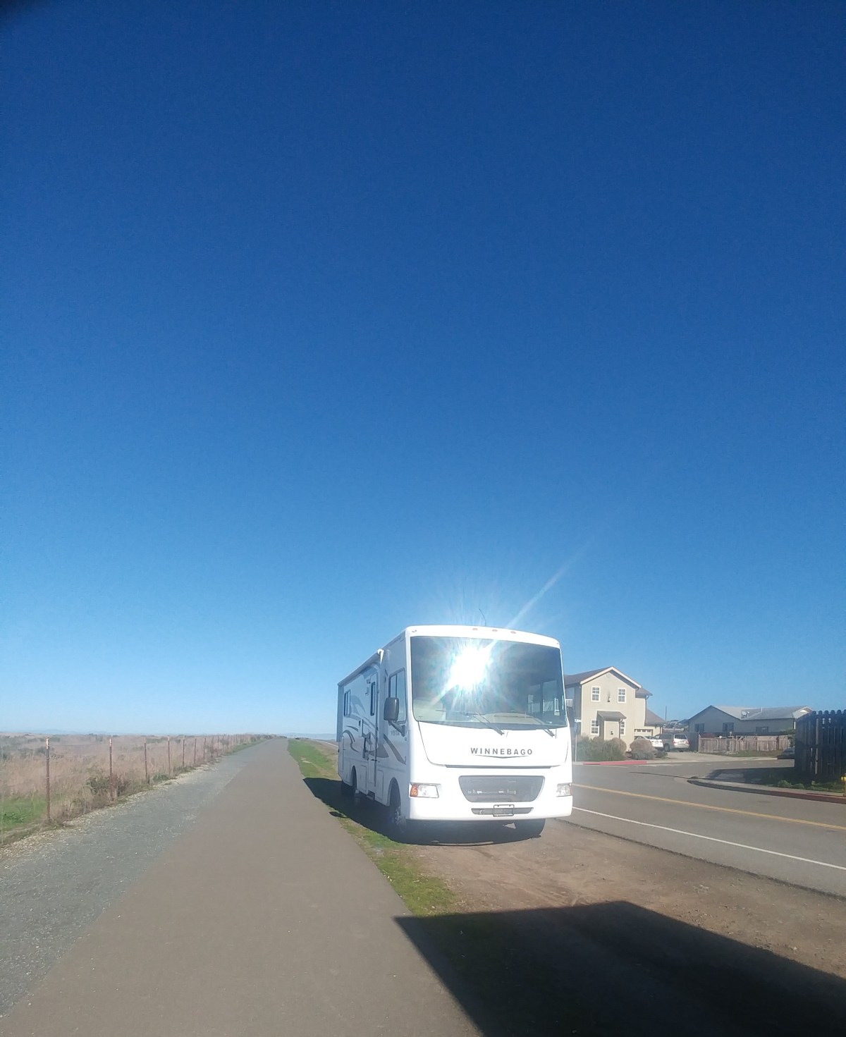
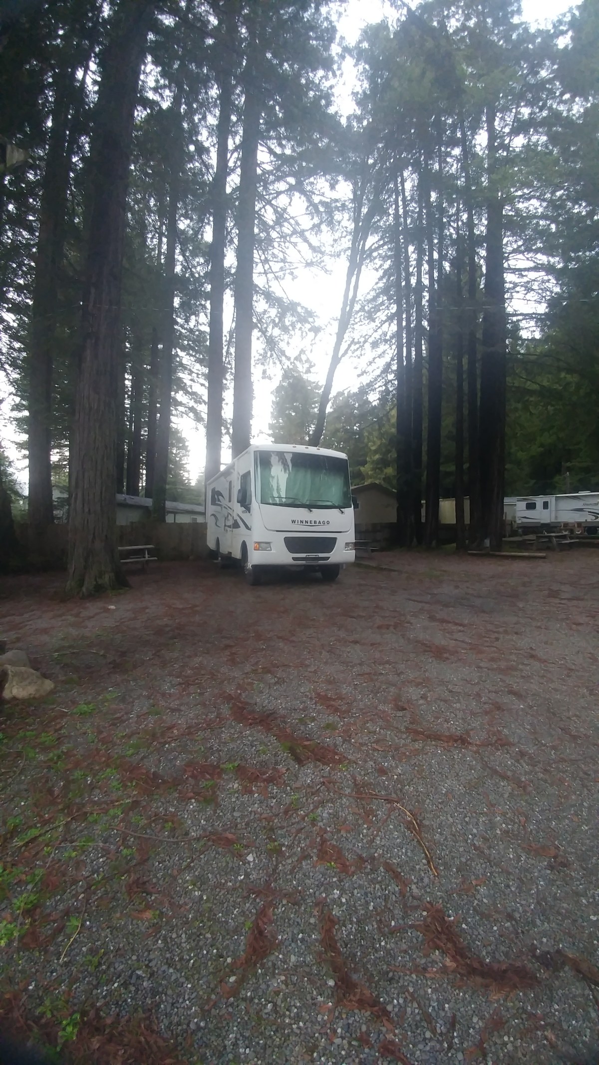
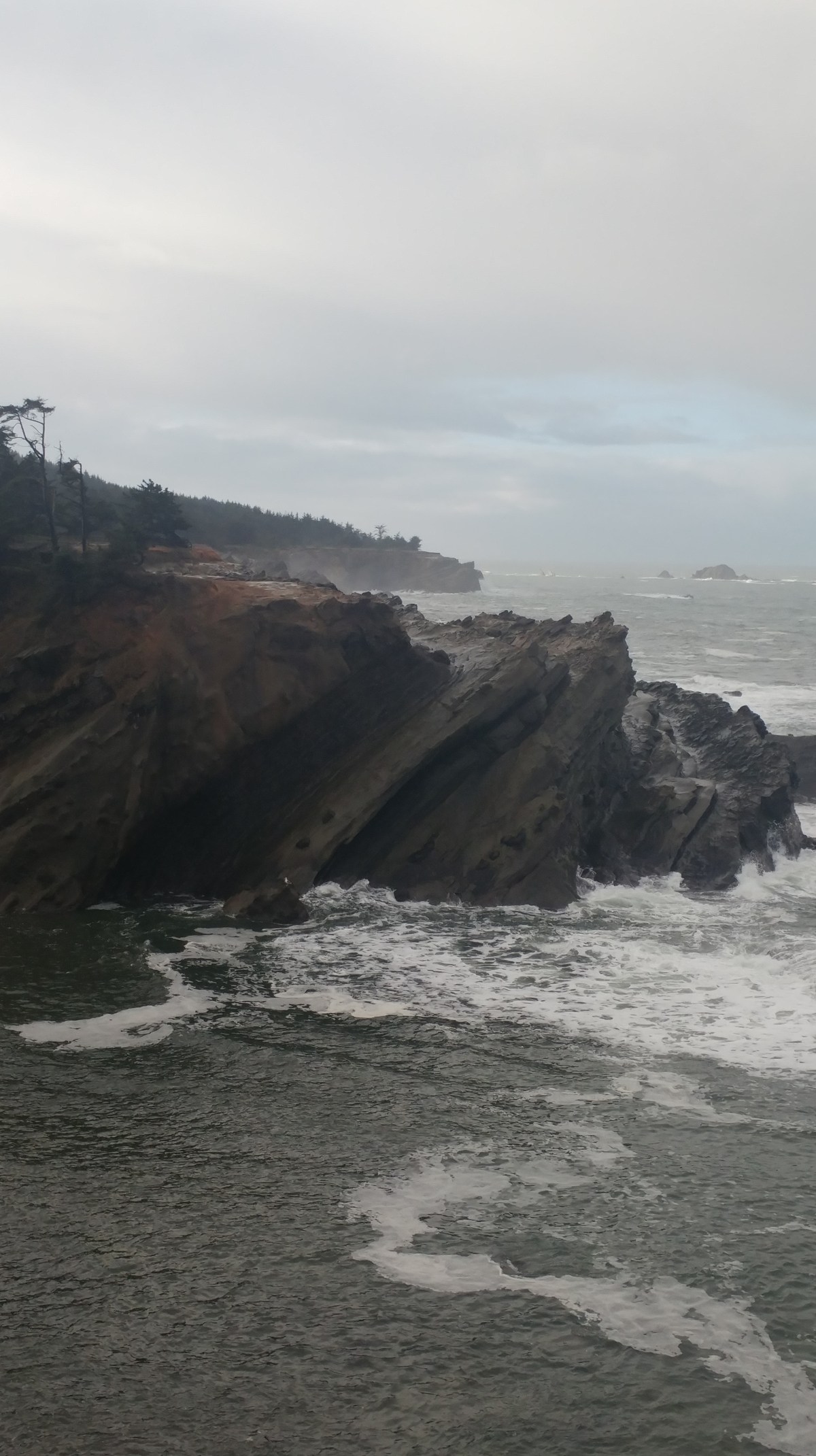
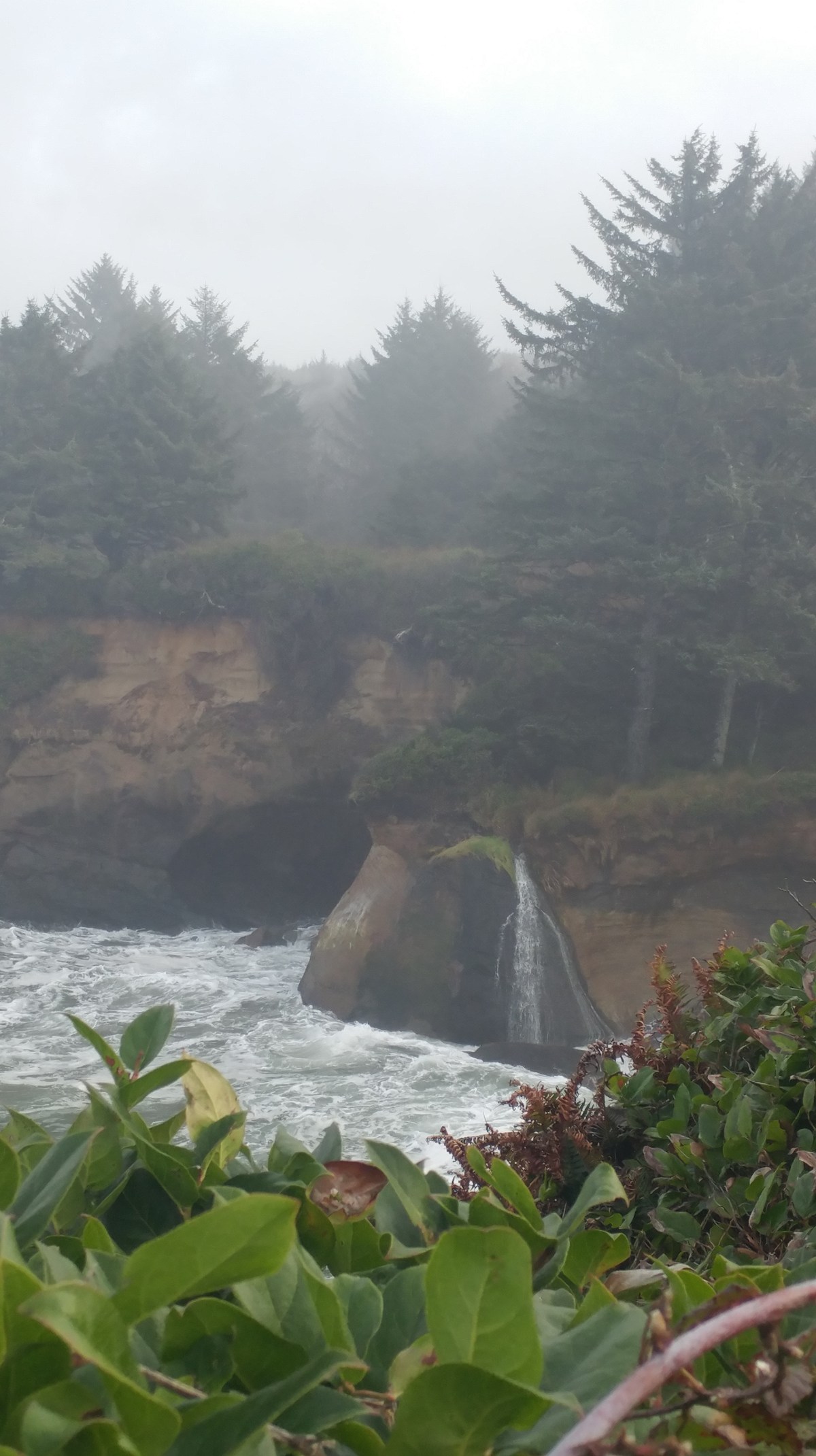
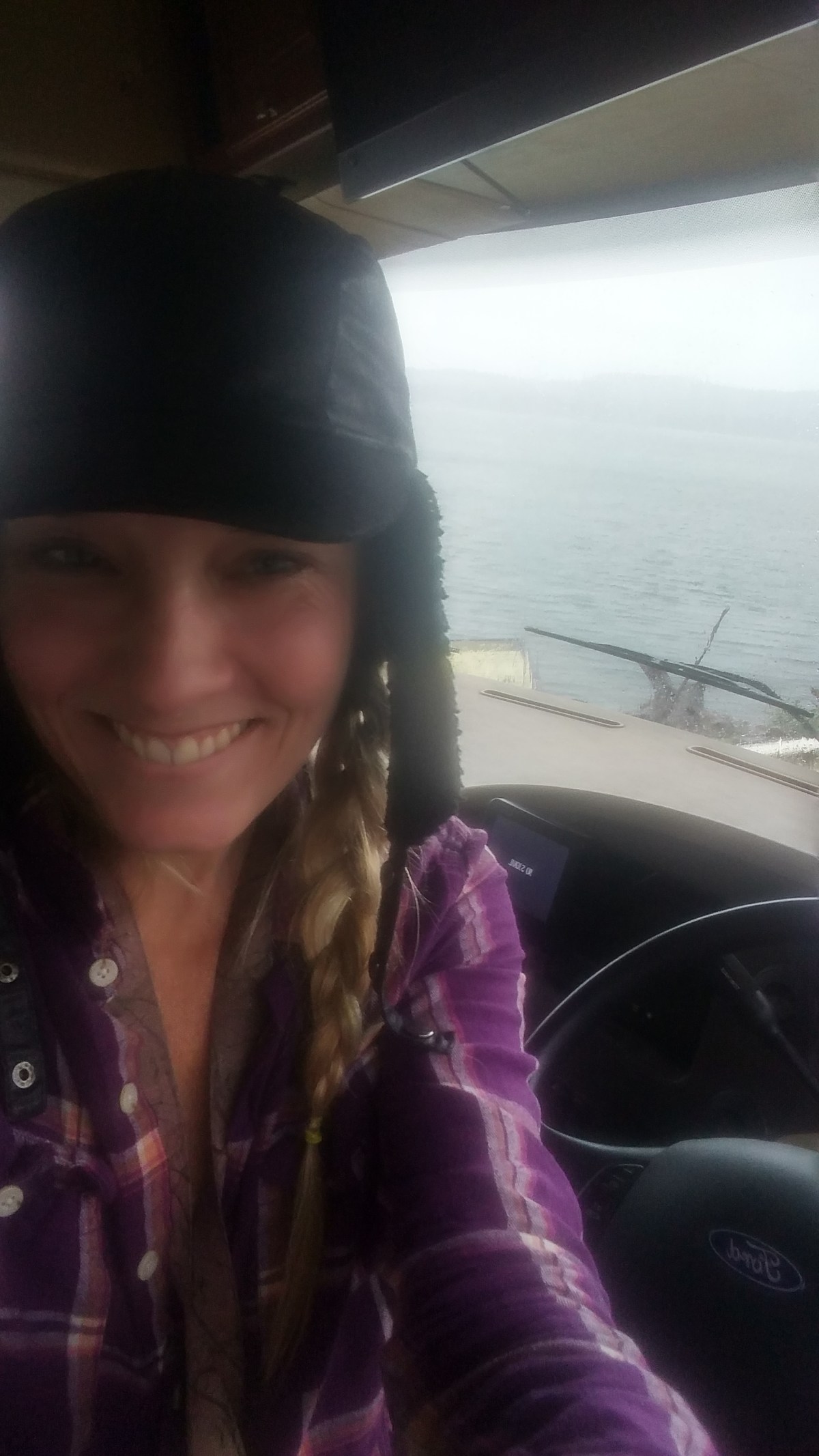
At this point the 1 has been a terrifying driving nightmare. I barely get over 30 mph for 90%. I love the 55 mph signs in front of the 30mph curve sign, but 15mph curves are the really good ones. Sometimes the tilt on the rig really feels like it’s gonna flip. These are the moments you might see me eyes and mouth wide open completely petrified. The shoulders on the roads are non-existent for the most part. Mostly the white line and the edge of the cliff and the edge of the world are the same thing. It seems going south is worse. Going north you are on the inside more often, but that just is an opportunity for a limb to side swipe you or clock the windshield. I was really hoping the first 30 miles, that weren’t as bad as the next 200, were the worst of it. Then you have the hills. Straight up, angles I didn’t think were legal only to come down the same angle and throw a curve in it. So at 11 pm with intermittent fog and blind darkness I parked.

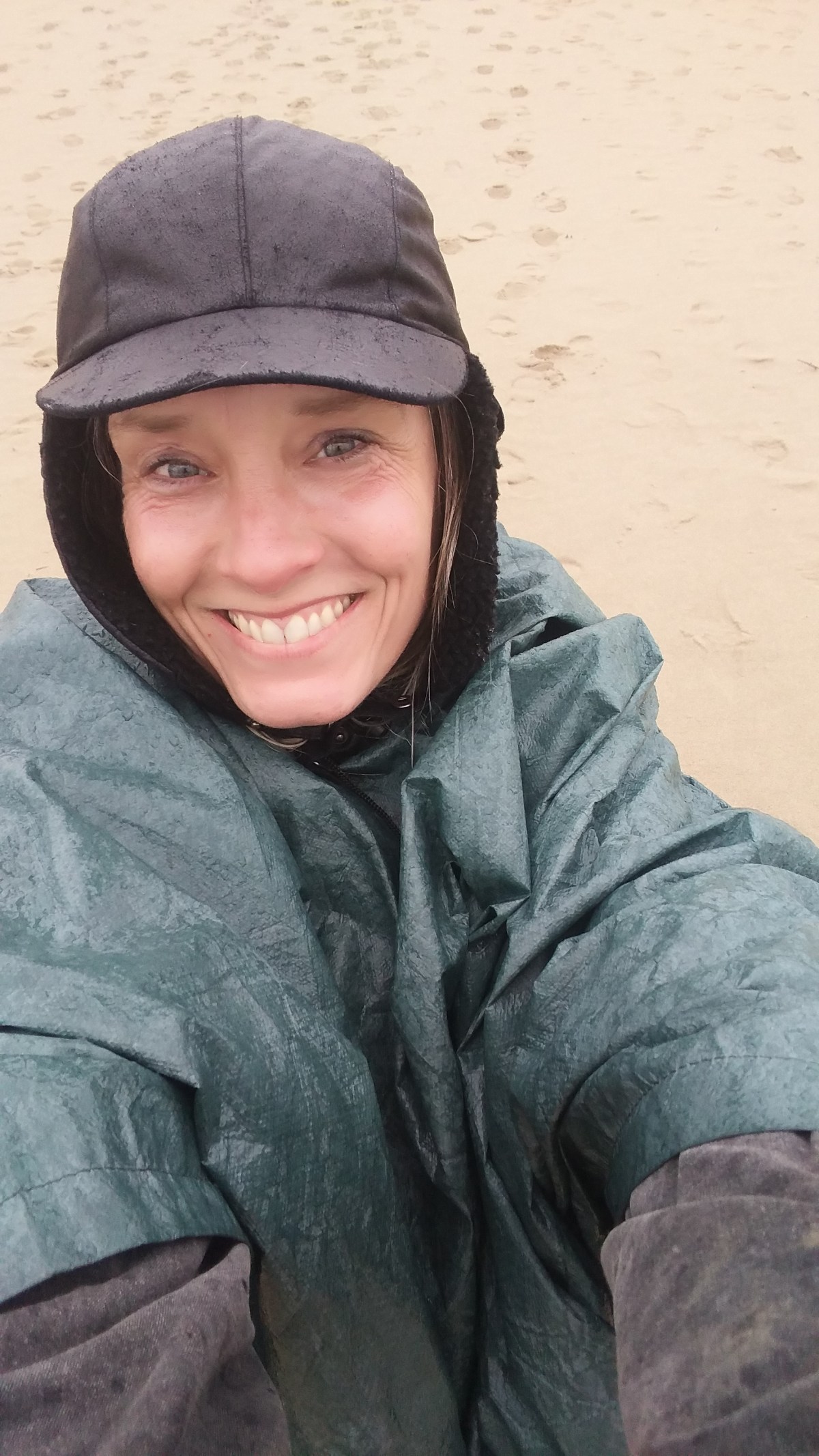
Completely paranoid about parking on the side of the road, I woke up before sunrise to move to the welcome center of the Reyes national seashore. They had a nice trail head there, of course in the darkness I pulled in the wrong way and didnt see the rv/trailer parking and ended up headed out,arghhh. All good, lets do our orginial first plan north beachparking and work our way down.

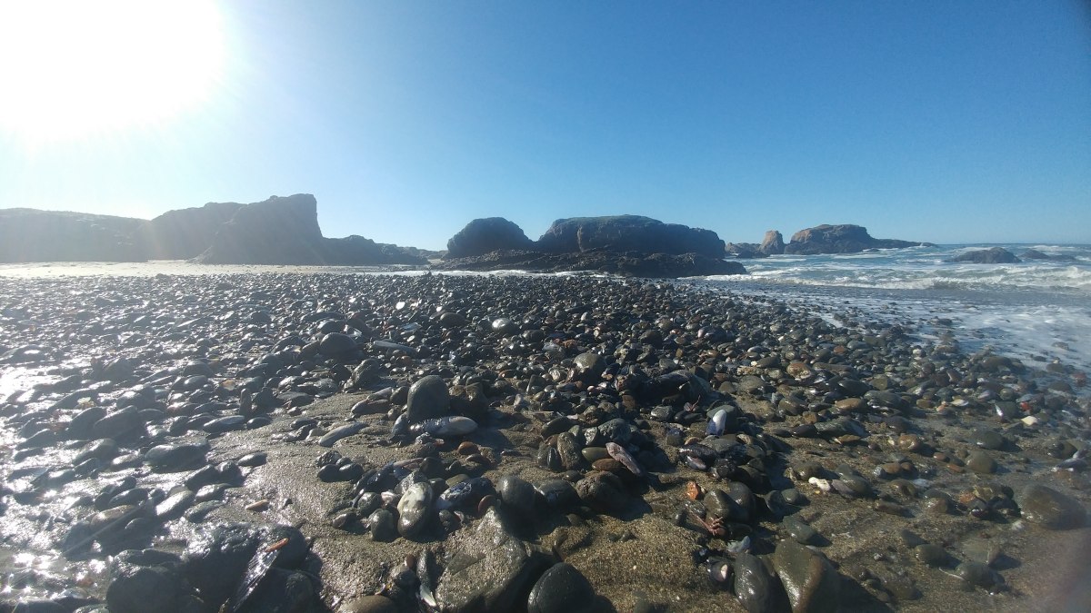
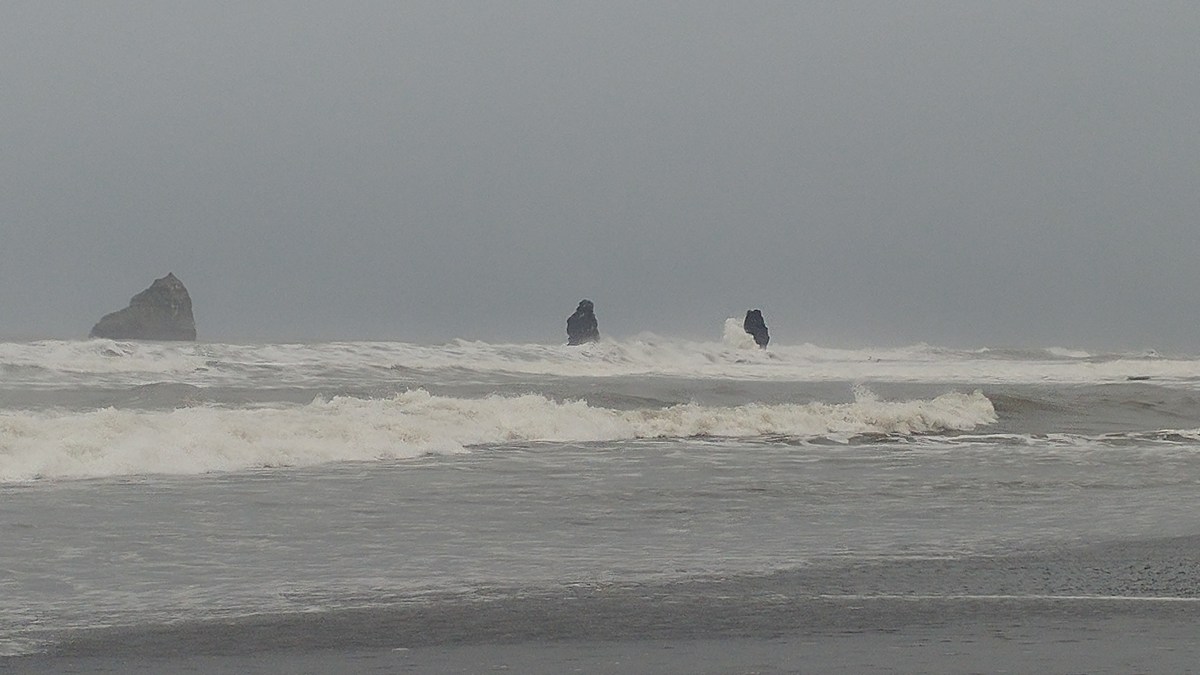
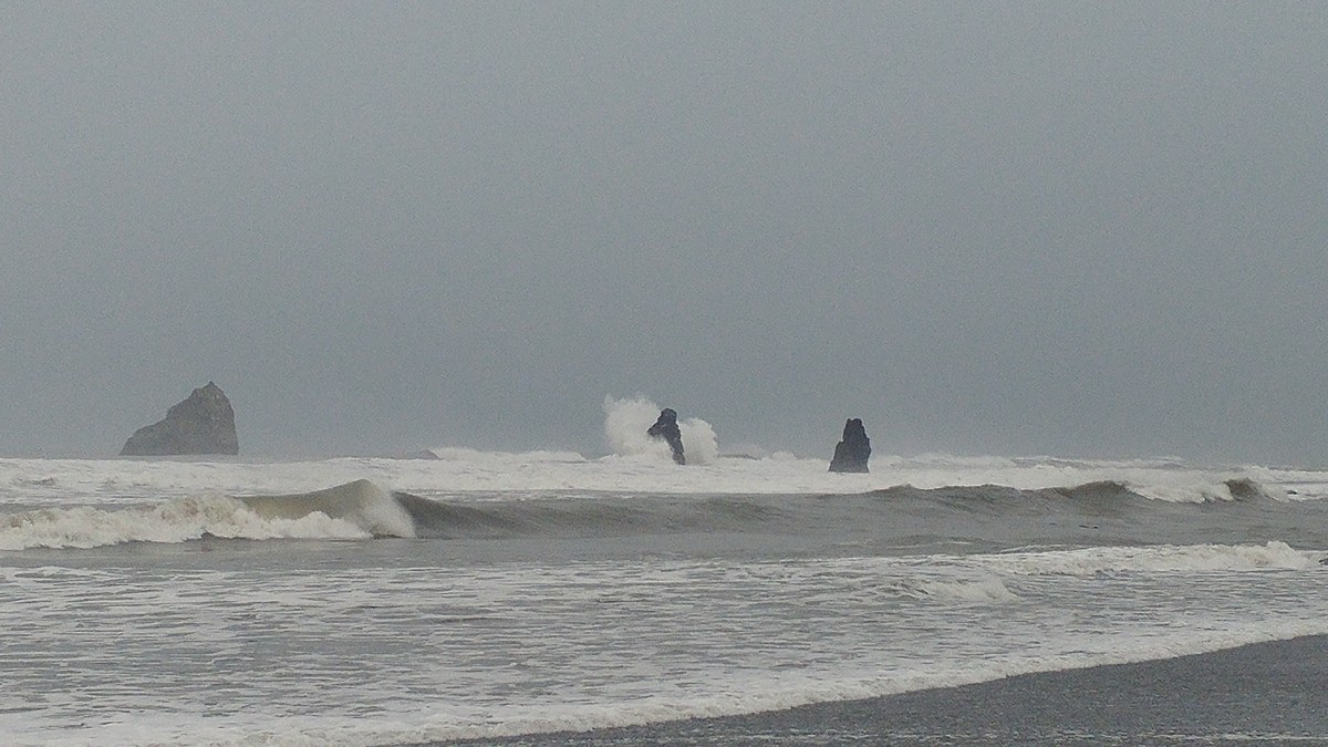
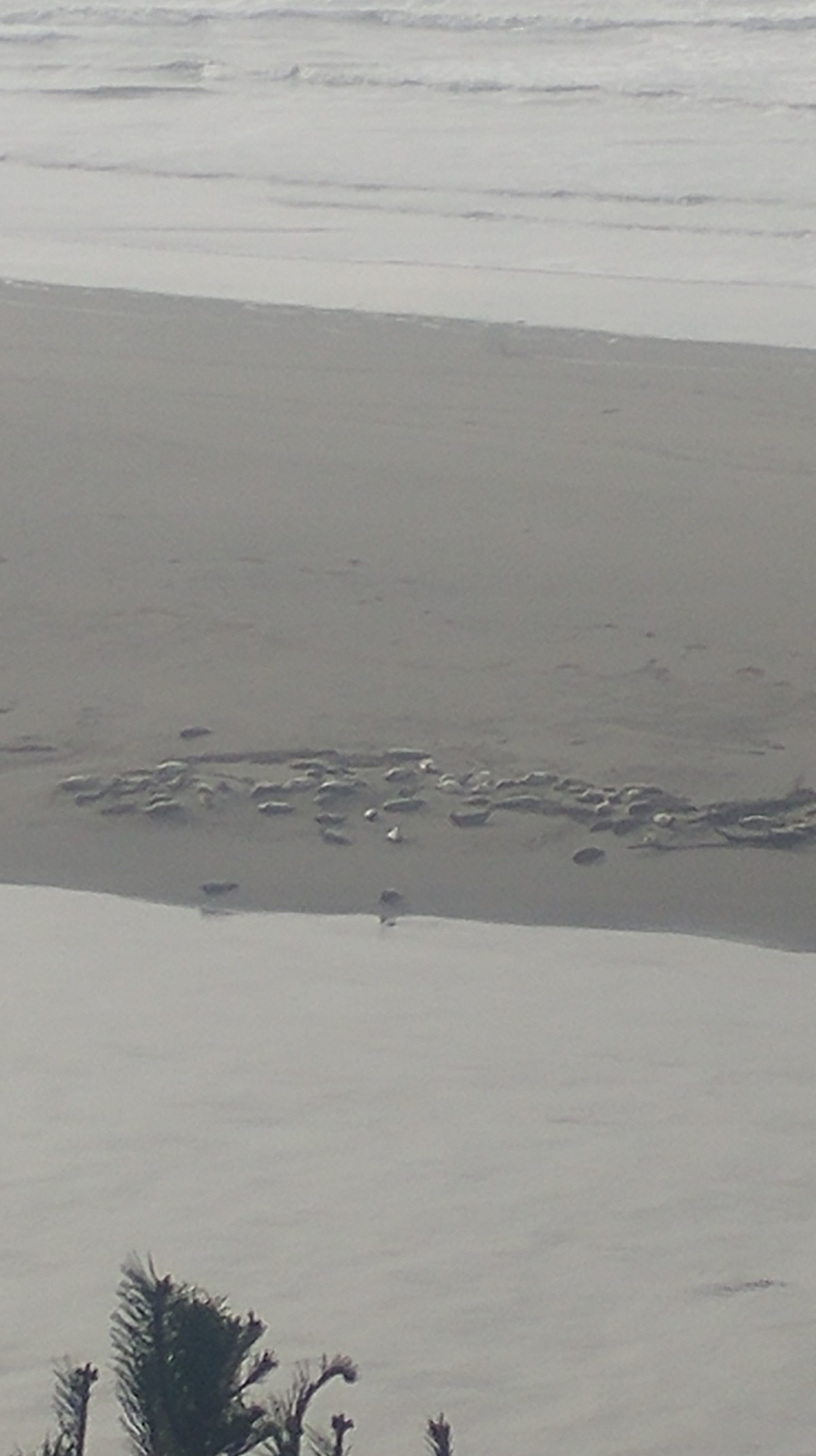
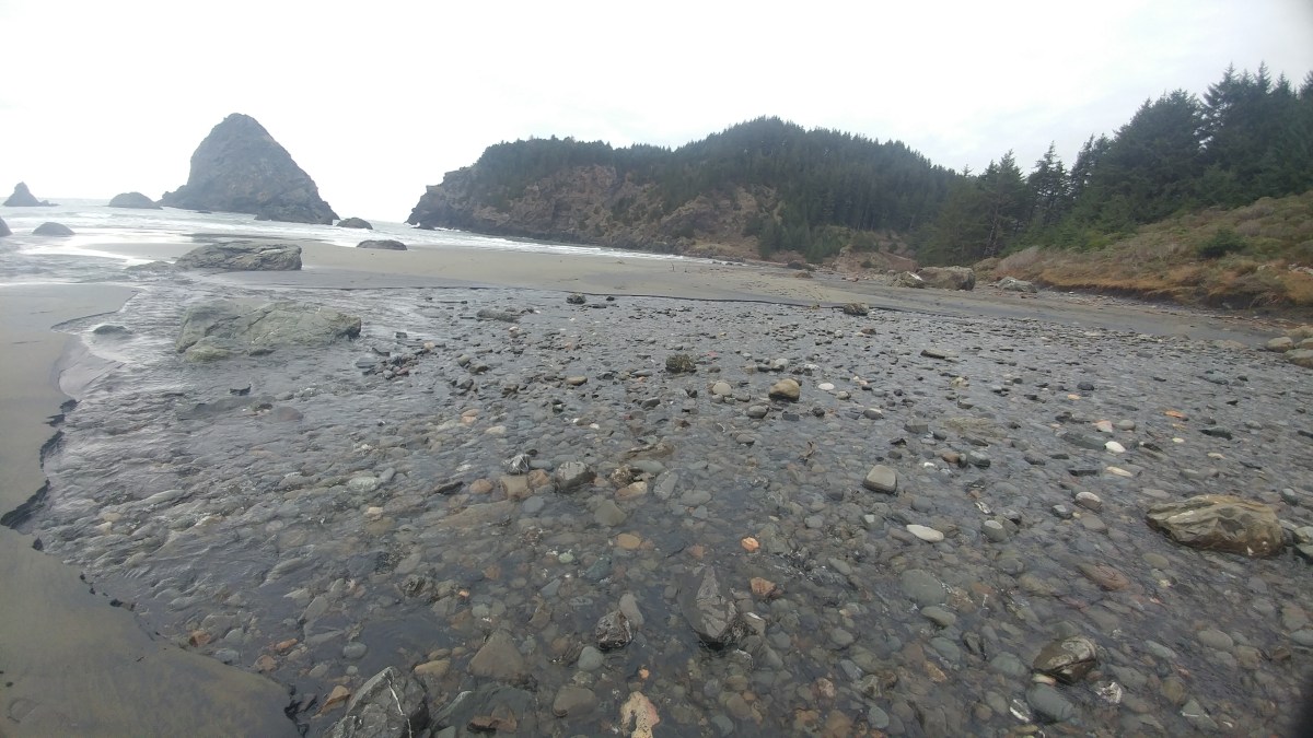
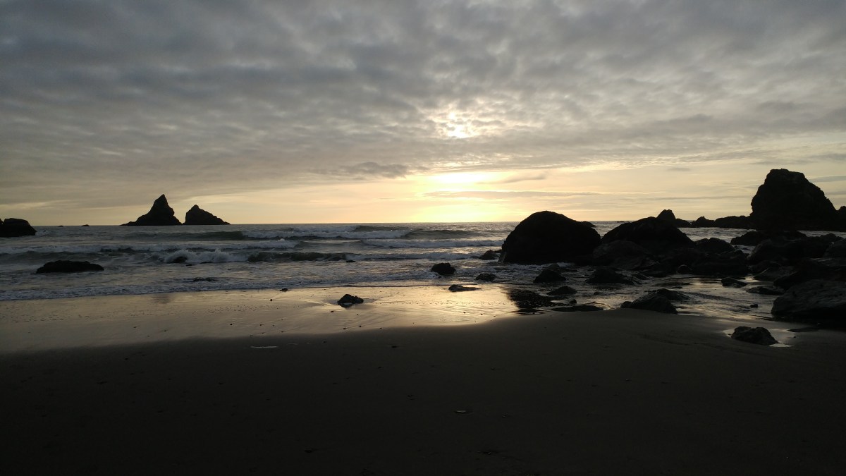
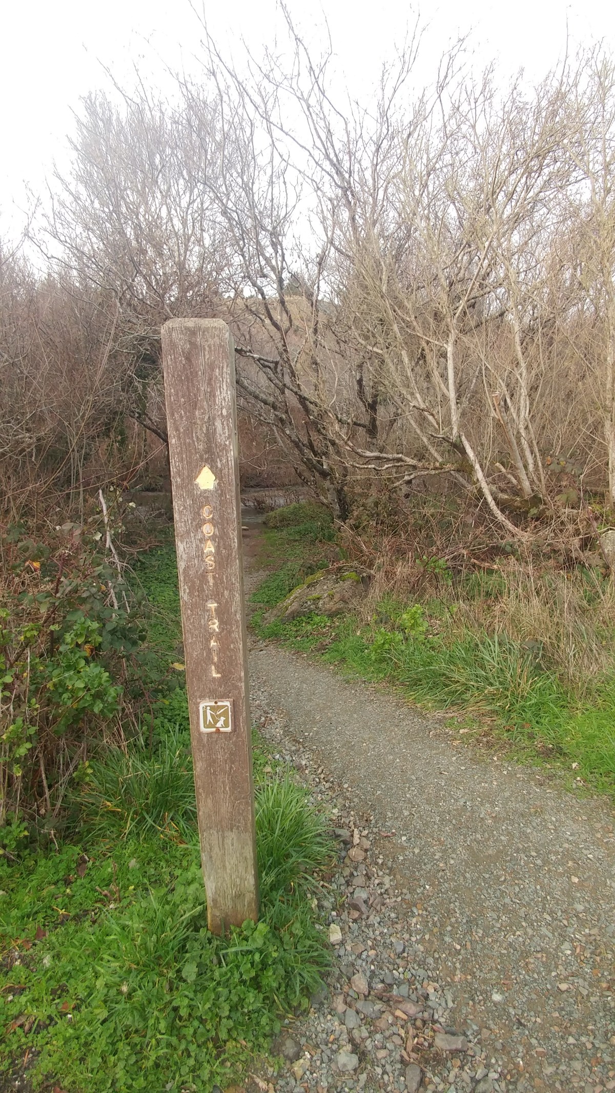
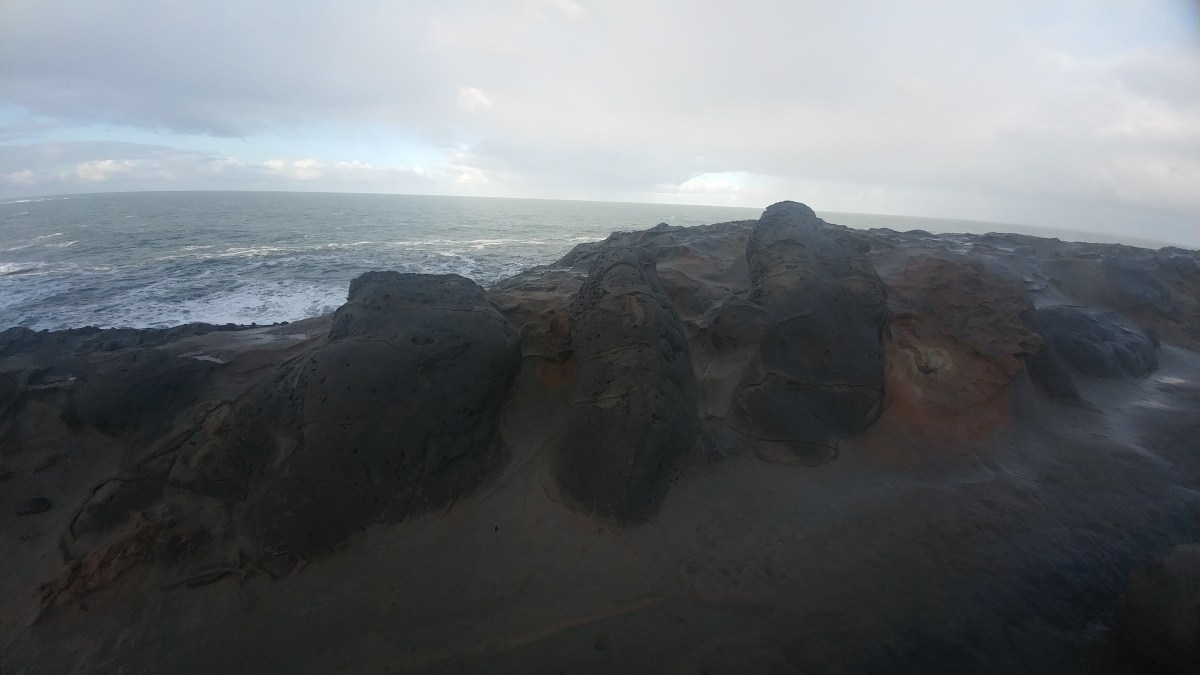
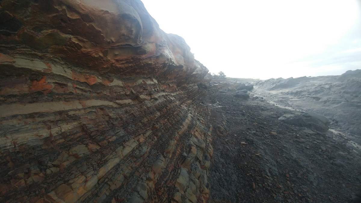
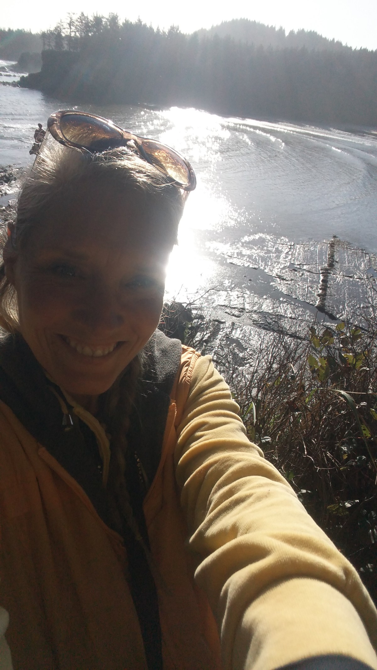
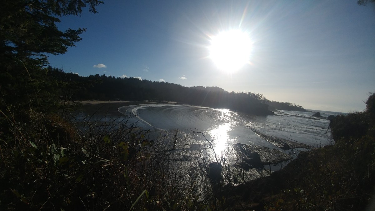
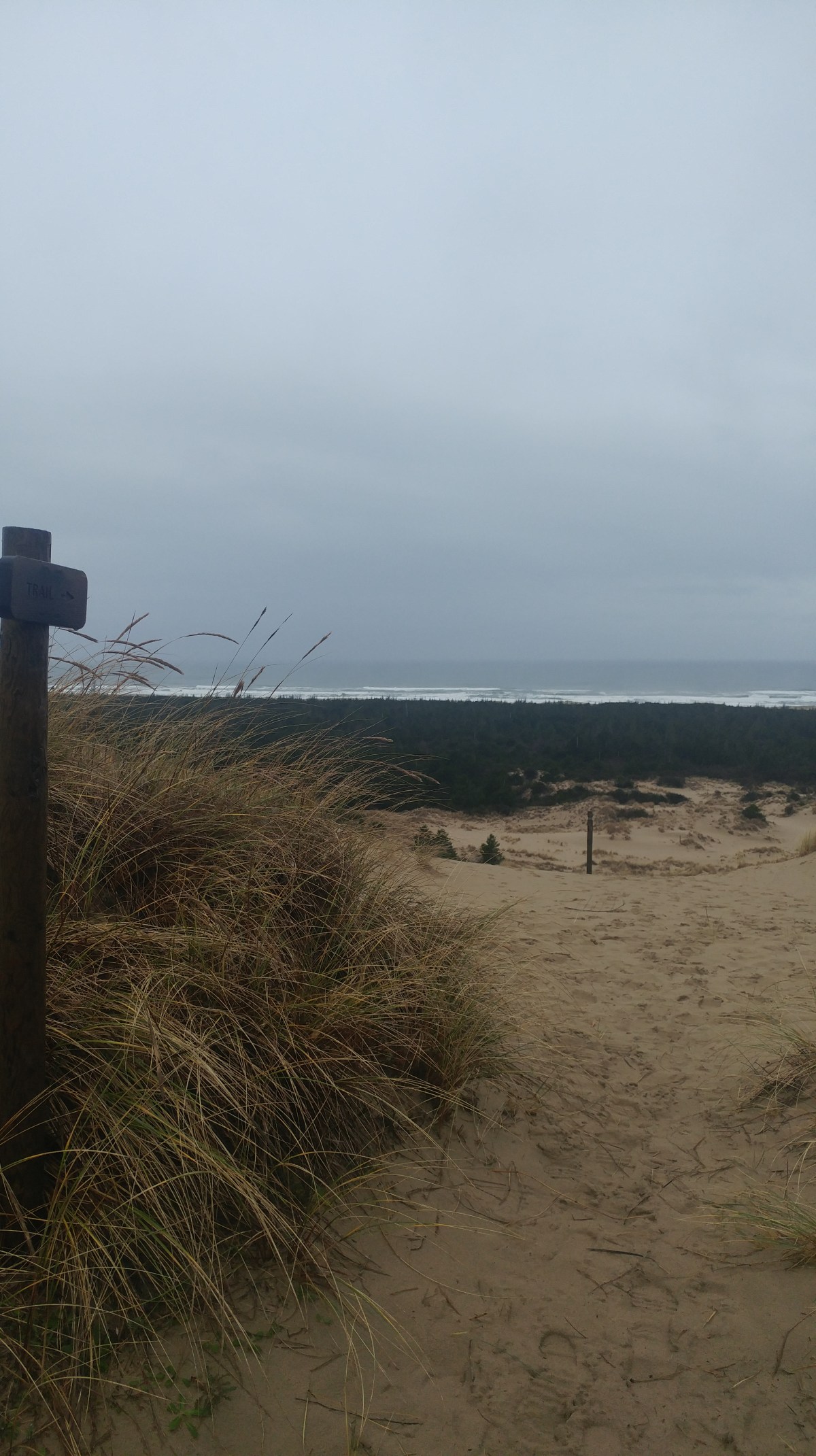
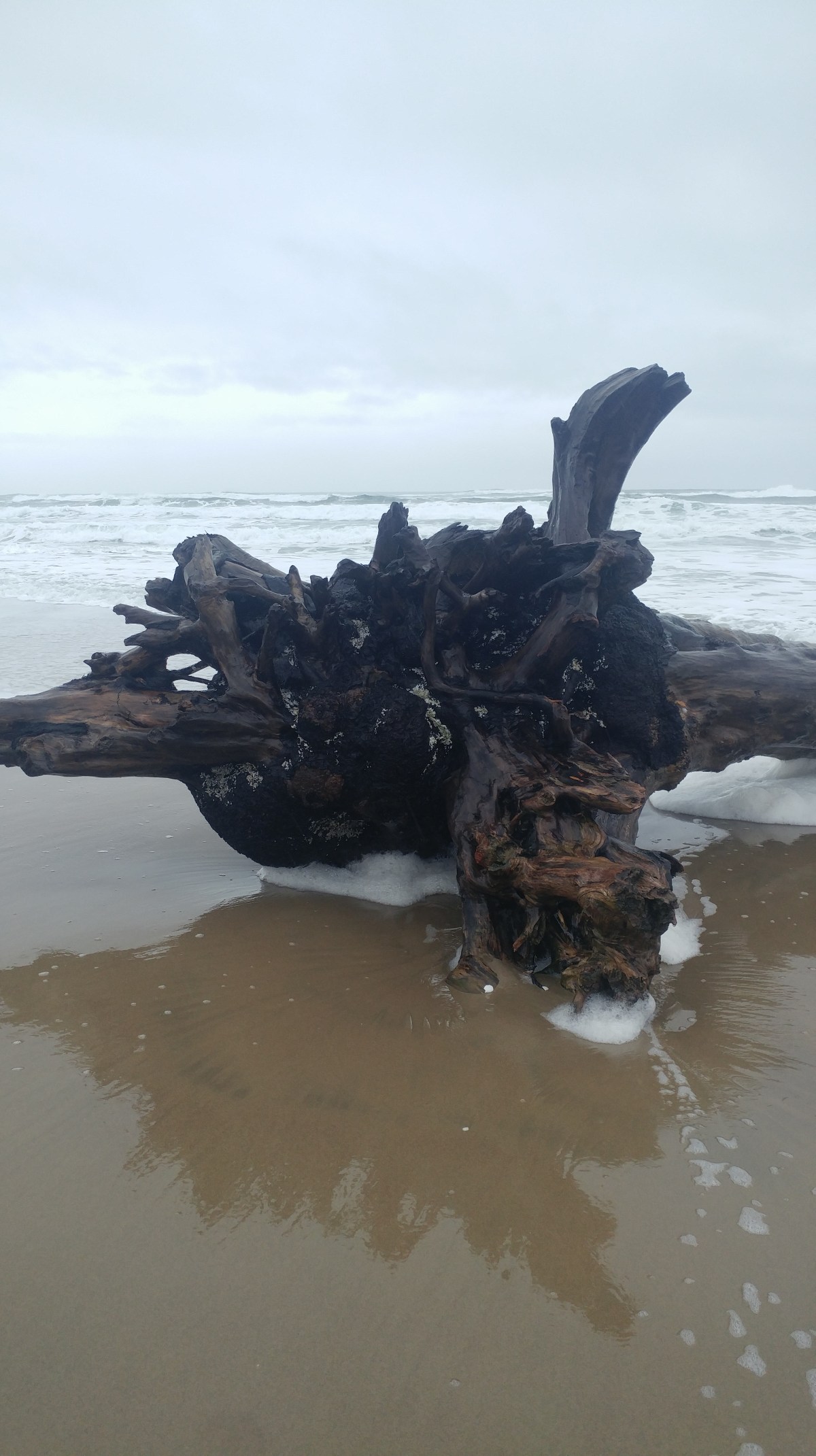
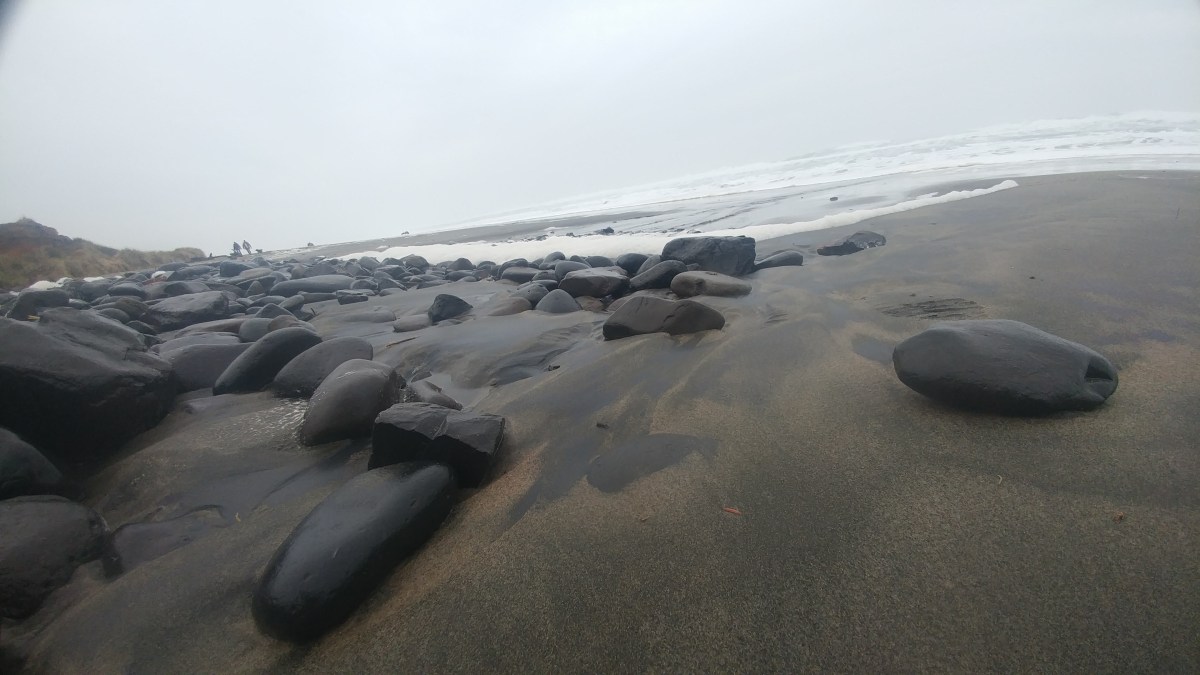
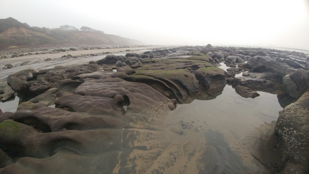
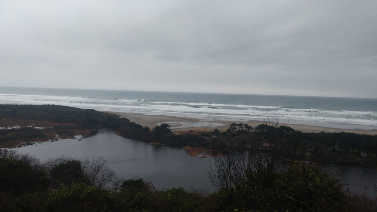
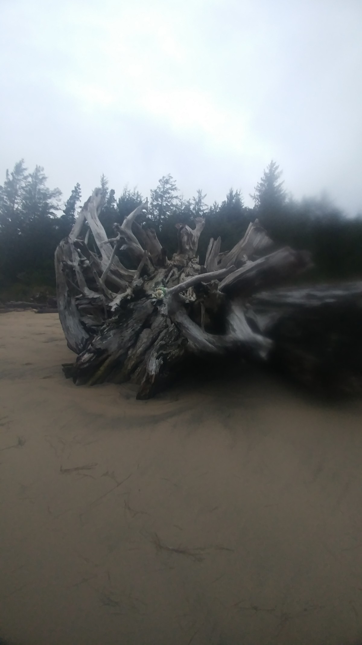
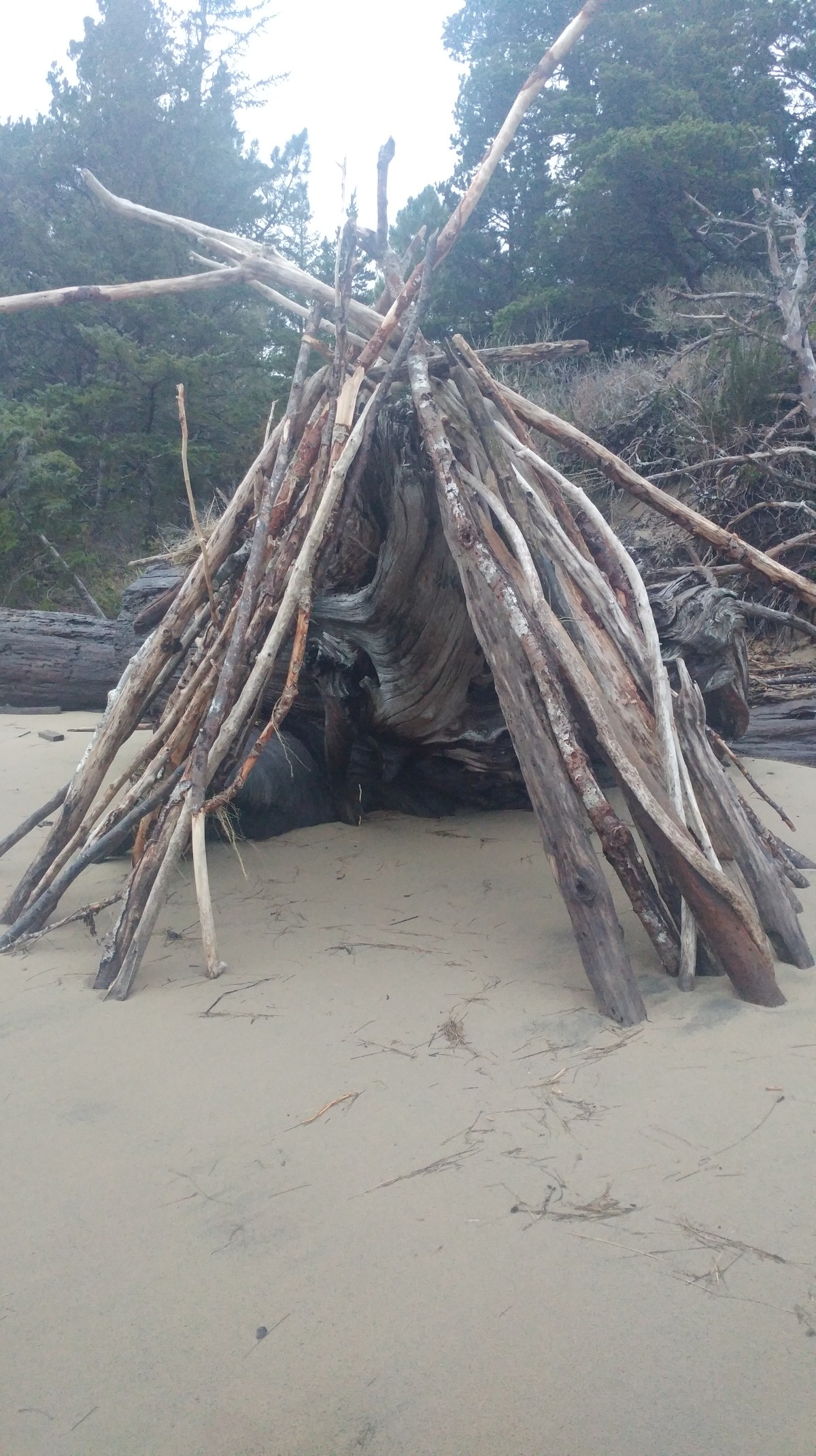
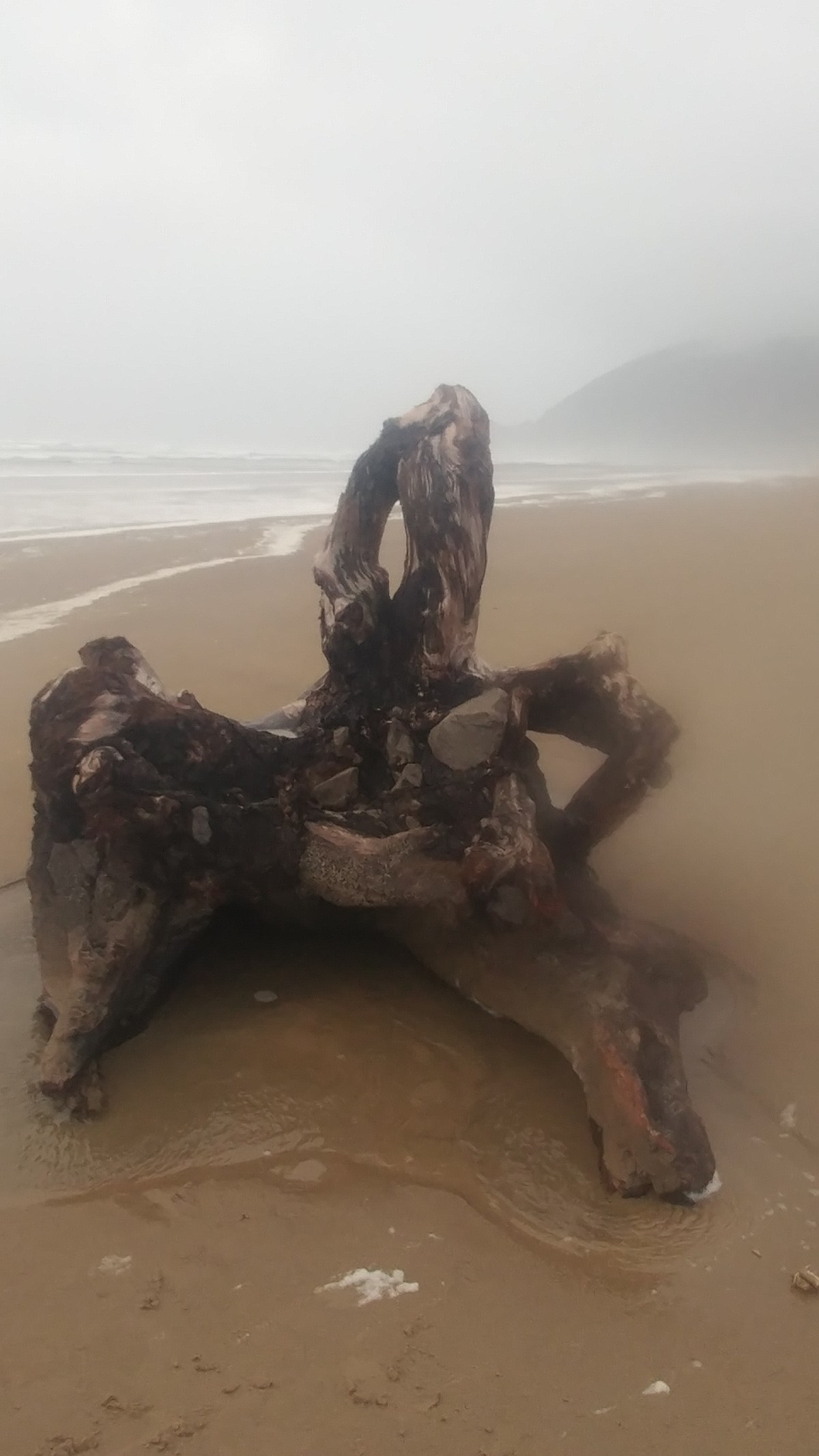
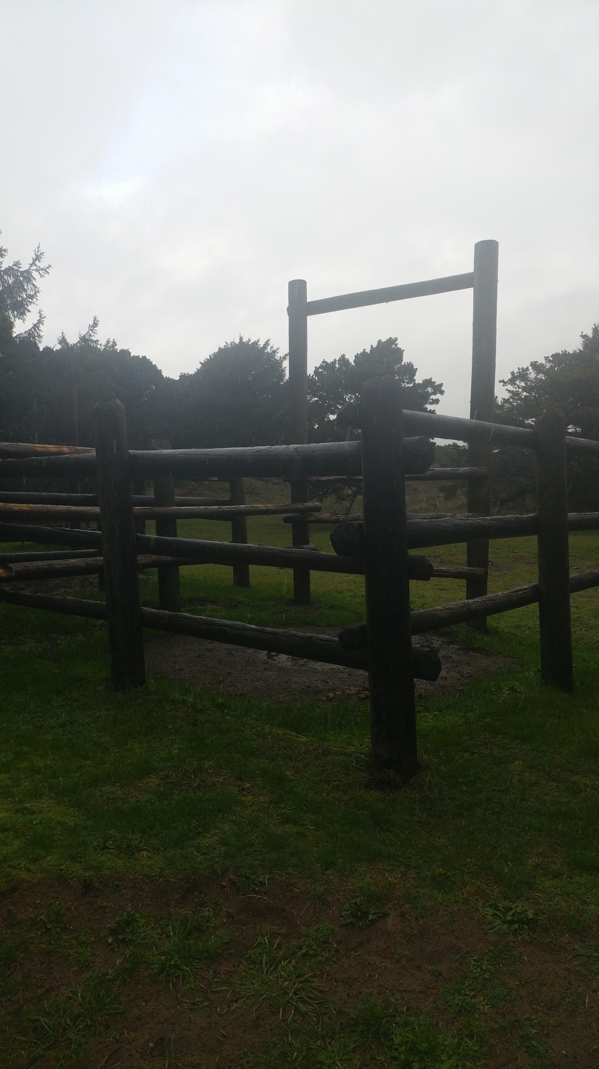
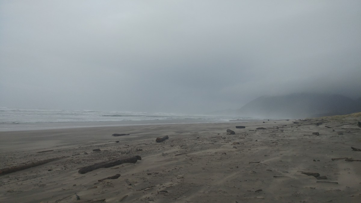
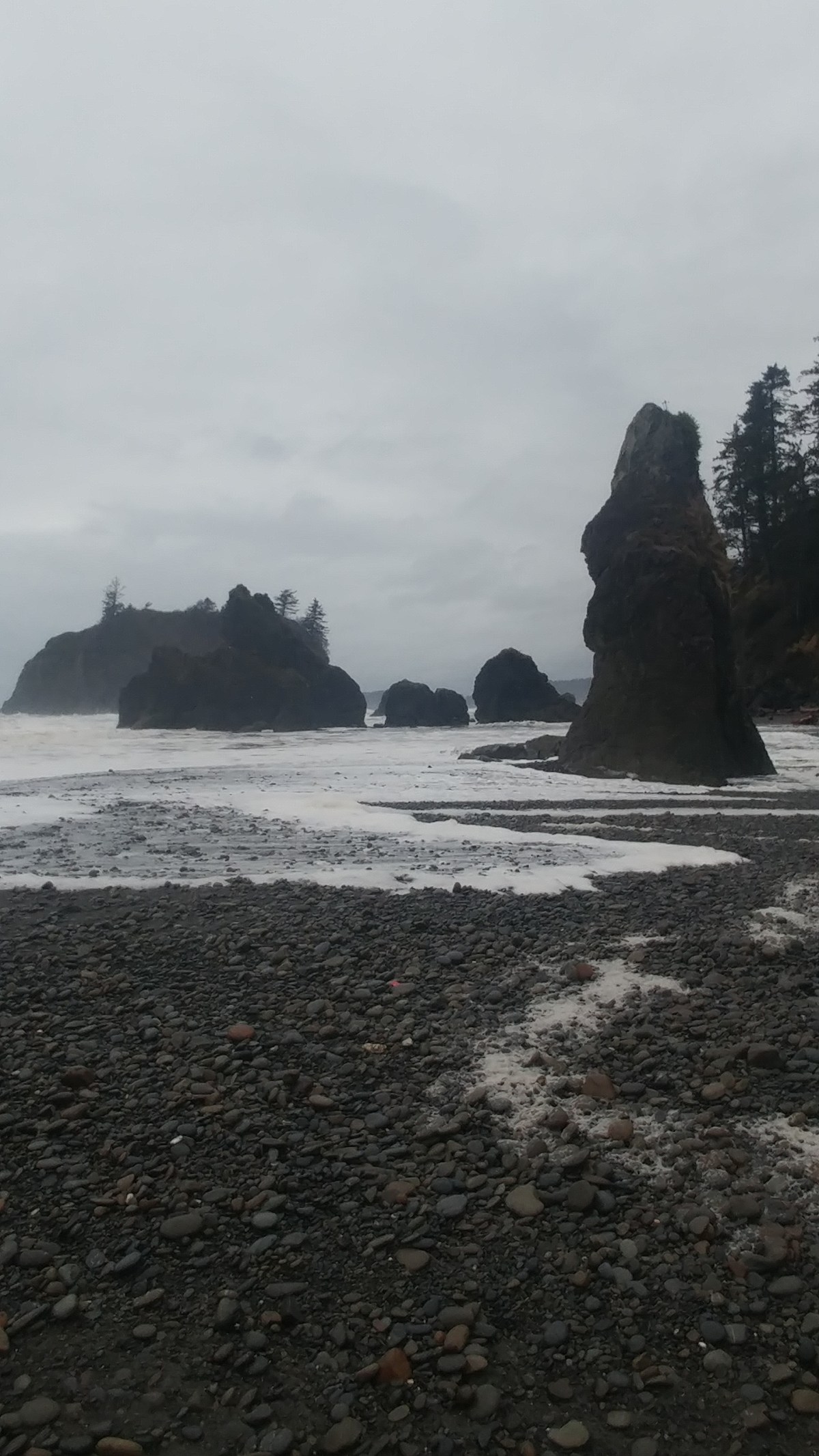
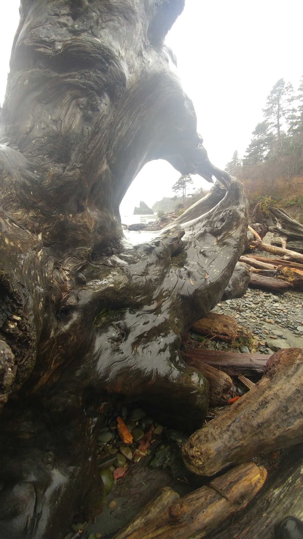
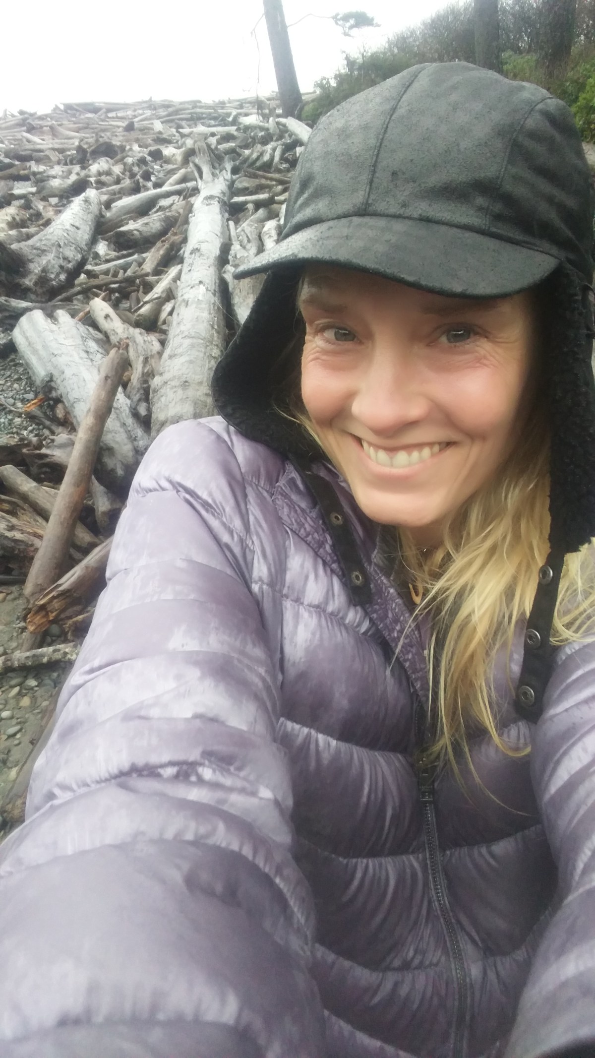
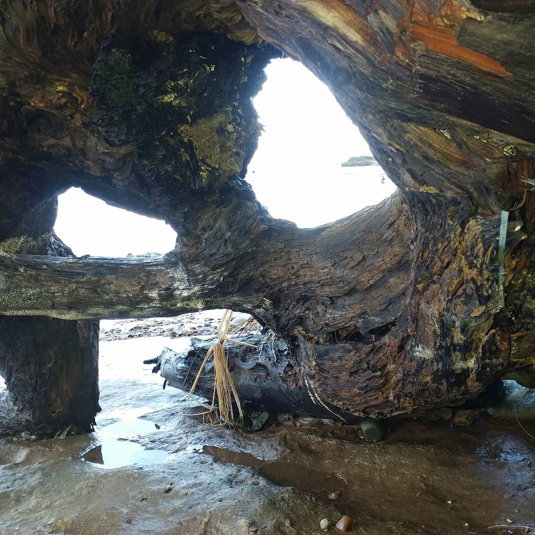
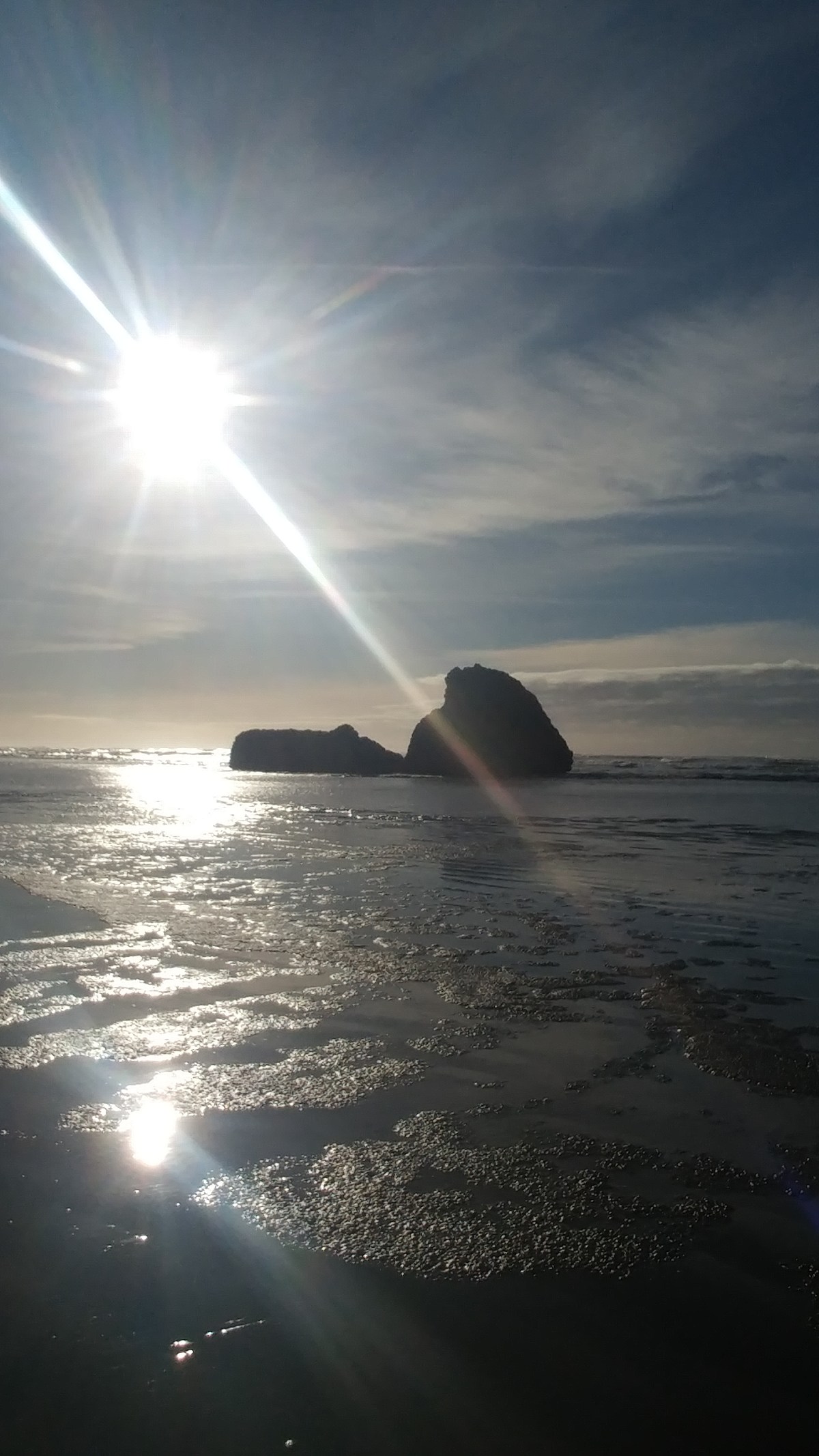
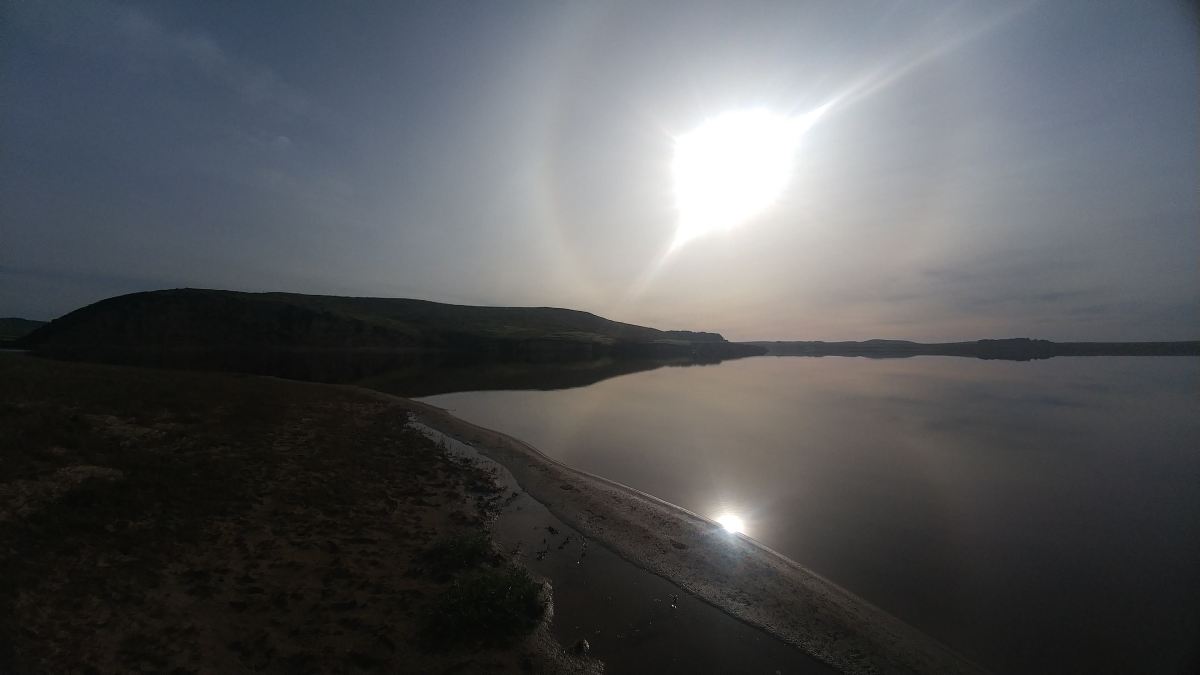
Finally made it to the first real parking I could find and what A FIND. Beautiful sunrise walk over the marsh to the sand dunes by a lake to the beach. seriously amazingly beautiful!!!

0126190943

0126190950

0126191000

0126190835

0126190820a

0126190820

0126190810

0126190807

0126190806

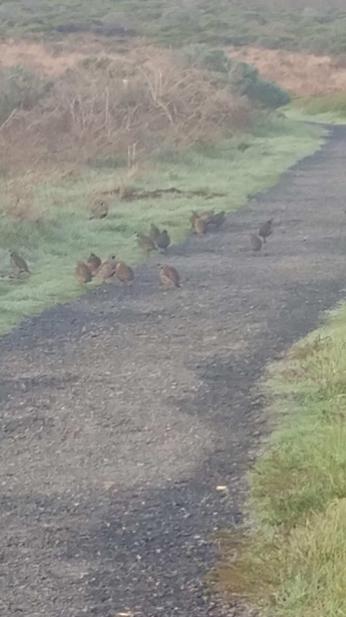
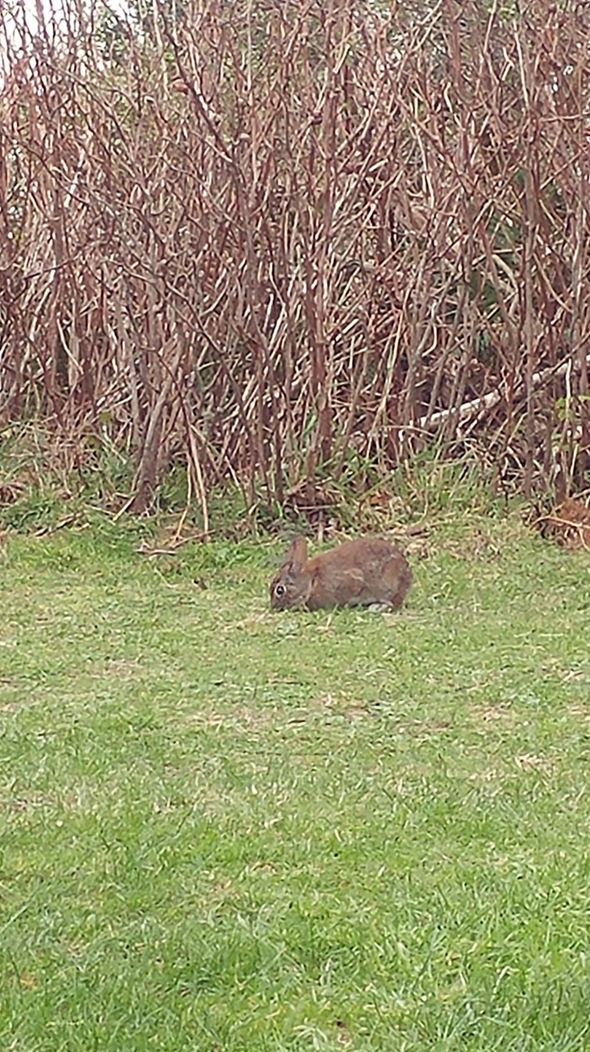
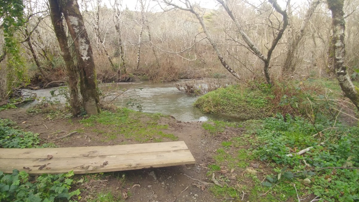
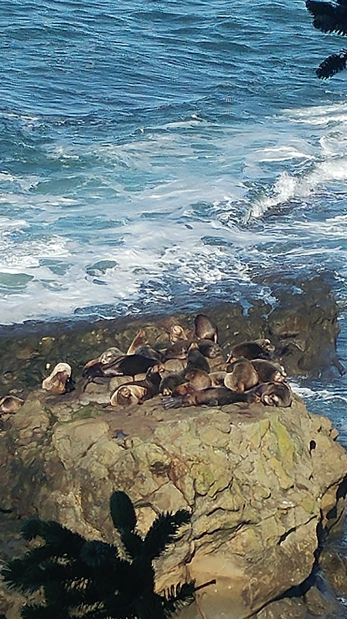
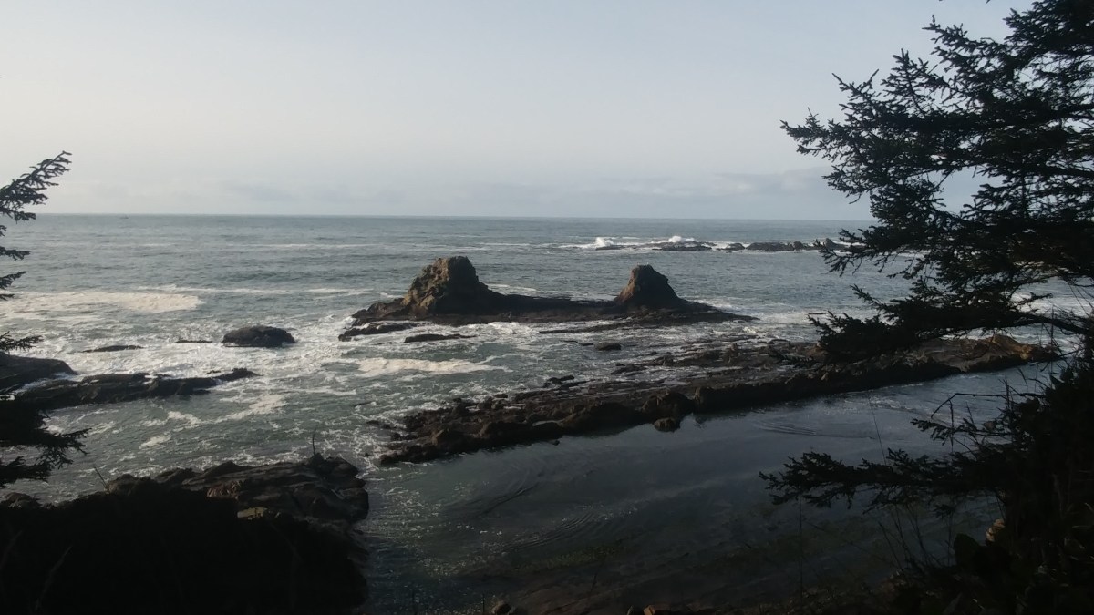
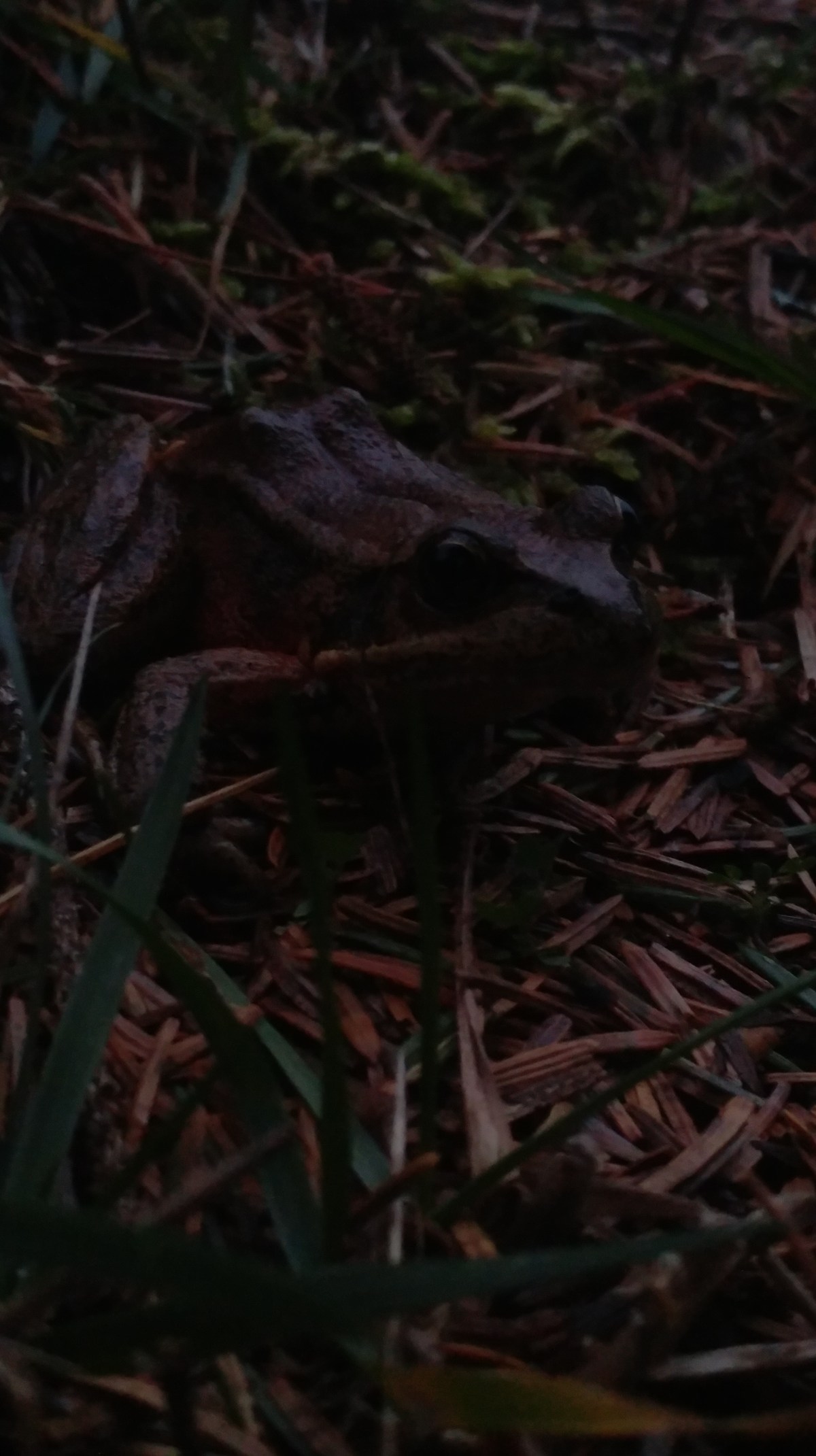
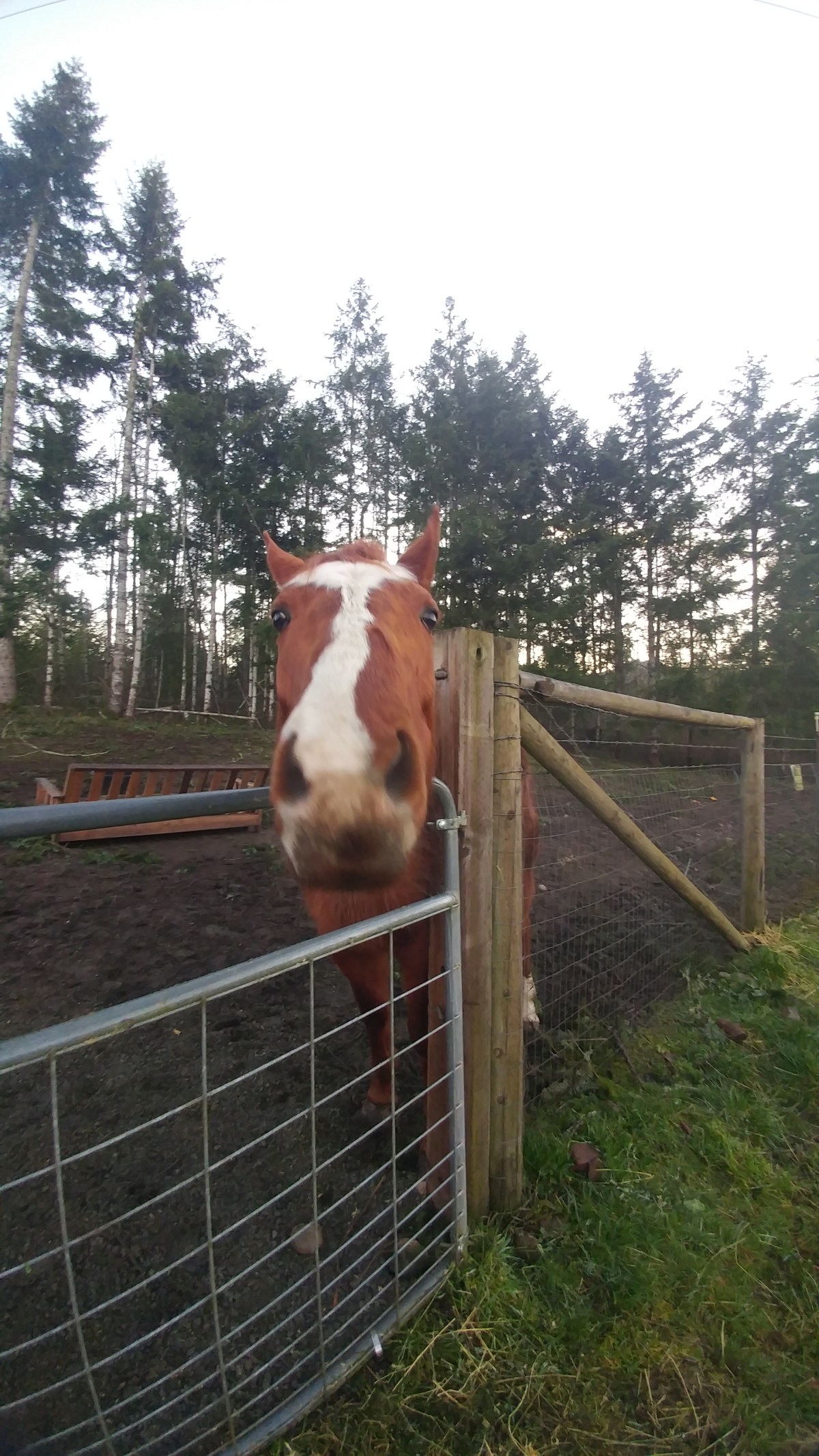
I started the walk with a herd of little hen looking birds taking over the trail, then some small brown birds and red wing black birds, herons, a peacock nesting, and the singing, oh the wonderful sounds of morning bird songs. The sun cusping over the mountains in the distance and warming my back. Ahhh mornings like this Make a day!!

Glass beach trash to treasure

Found glass beach which is why I was in fort brag. I had been told of this place. When I looked on line it says the beach is closed, but I found a trail head parking that ended up being what everyone thinks is glass beach. As later come to find out with almost all beach access in northern California, no RVs!! I pull in and as I pull out my phone to look for some alternate parking the police show up to make sure I saw the sign. I told them I did and is there somewhere else i can park. He points to the road and says on the side of the road up there. Highly uneven roadside dirt parking, thanks.

Make my way to the beach. It is all glass as they say it is going to be. like the agate beaches but all tiny pieces of broken glass with pottery and other hardy trash items. This used to be a landfill. This is what is left. People come from all over to see this and pick up pieces. With the recent storms the glass had been covered with fresh sand along with the holiday weekend and the scavengers. I picked up a couple of pieces and chatted with some strangers.

On the road again the other reason to be in fort brag, cheep gas. Dont know why, but at least 50 cents cheaper than anyone else for the next 200 miles.

South 101 to 1 to fort brag vista

The last chunk of the 101 after I ended the avenue of the ancients had a couple more stops, Hill of confusion in particular looked super fun. I was disappointed I missed, but once I got one to 1, I was happy I kept going. The first 30 miles of 1 are nuts! It warms you at least, nothing longer than 30 ft.   Tight turns and narrow lanes.

As the sun was setting I found my vista stop I was told you can over night.  There were several pull before this one and a very nice camp ground right on the beach cliff view side, but I forged ahead to my vista and had it all to my self.   The sunset and the sunrise with a spectacular vista view and trails along the bluff, seals, birds, mushrooms and flowers.   Fun Morning.


Avenue of ancients highway 254

Amazing! So much fun!!! Glad I was able to find a spot to stay right away so I can take my time.

With a morning that starts with coffee in the hot tub, it’s gonna be a good day. The hikes are all you expect and more. The giant trees do dwarf everything else’s and so many tree houses I fee like I could move right in.

I pulled off for as many of the hikes and info as possible. So much to see. The visitor center is a must. A mobile home made from one tree carved out! Nuts

Sweet trail just across the street too.

First day in California

Stayed at the walmart in crescent city, again with the no parking, but parking is ok. First stop national and state park visitor center, no, closed. All the state info is shut down, so no map. Signs will have to do.

We hit crescent harbor overlook and then on my way.

Found the tourist trap tour thru tree. Loved it. It wasn’t open, but you could walk up.

Next stop was the kuchel beach and visitor center. Again closed. Beach was ok. Nothing spectacular, but some nice sneaker waves. Totally soaked me from the waist down while trying to get waves crashing on the rocks.

Some crazy construction on many of the high view points.

And then the fun begins. I decide to stop in Trinidad. Quite a few rv places and after boondocking for a few nights I was ready to plug in.

I mistakenly took Patrick point rd. It seems to go by most of the rv places. I pass the first one based on the 10 speed bumps in the turn in. Then the road seems to literally fall apart as you drive on it. Not much notification on the camps, and I can’t exactly take my eyes off the road. The edge is barely there. I thought I was mapped to at least one of the rv places, but no it was the boat ramp/not really beach access down hills where I really thought I was going ass over head. Almost crying I just turn around and get out of Trinidad, blowing past the rv camp on the next exit that takes up most of the center of town. On that note, if you just take that exit into Trinidad, it’s actually a really cute town.

Finally a nice pull off down the road a bit to recoup and gather thoughts at the Vista point on Hammond trail. Met some nice folks watched some seal lions and found out about the avenue of giants!!

As I head south in search of the avenue of the Giants with no idea if this is a turn off, a private road, a park, a sign. At 55 barely caught it, something about 28 miles ahead I think. Keeping track of the mile markers I keep an eye out for more signs.

Thankfully there is a huge sign for it and other than the low bridge (14′) looks good. The first pull off had info, a map, and an audio download if you wanted.

My day of the Oregon coastal beach trails

A wonderful morning waking to an unexpected agate beach at the ophir wayside rest stop just down a tiny trail. Filled my pockets with little treasures. I miss the views on these mornings starring at ground as all the colors pass one by one and the echo of the waves crash one after another hearing the little rumble of the rocks as they clank into each other rolling back toward the sea.

gold beach was just a few miles on down the way, felt compelled to stop. 2 miles to the info center but 1 mile past all the really cute shops. Most towns are not super rv friendly. The info center was on a huge hill,I parked at the top. Was told of the scenic corridor coming up. National Geographic made a special on it.

I had already planned on Cape Sebastian and wow that’s a trail. It’s been difficult to stop at as many Trailheads as I have wanted, and the info center gals had said not to go all the way to the… I really should write this stuff down. Wasn’t expecting an up and down situation, good thing there was side road parking in the middle, not advised. In fact, this whole road for an rv was terrible. Straight up and down inclines. It is a tumbling nightmare in more ways than one.

Good thing the trail was amazing!! Terrifying hights on narrow passages where the slightest miss foot will send you to the bottom a lot faster. A pretty steady descent I wish I knew the altitude I have gone up and down the past few days. It was at least an hour hike down, down, down.

S

Sebastian wasn’t enough, I did three more bun blasting trails after that.

Looks like arch rock, but the next one is arch rock.

Whale rock above and below.

This one is house rock.

Start of the 18 mile trailhead for the scenic corridor. And then your first obstacle, cross that river…

Im seriously considering ditching the rv and going full hiking and do one of these coastal trails all the way through.

Cape Arago Highway tour

Rolling into the info center close to 415, I’m greated by a voice asking if she can help. I ask if she has any lists on the must sees in the area and she kinda laughed at me. Then pulled out the map highlighted her favorites on the way to Cape arago and insisted when I come back out take seven devil’s to get back on 101.

With map in hand, I go around the corner to a walmart. Yay, free stay. It even says no overnight parking every where, but that doesn’t stop the mini rv town from forming. By morning I think there were 14.

It was a beautiful sunset and sunrise over walmart and a perfect start to check out the info lady’s list.

My first thought was to go all the way to the end and start, but I could not resist the botanical gardens knowing they would barely be starting to bloom. Not another soul here I started down the first trail. Around to an amazing rock structure and the location of shore acres mansion. Long gone now and the volatile landscapes constantly threatening to slide off into the ocean below remind you why it’s not there. The outcrops stick out in 45 degree angels and form passages along the top ridges. Some areas look like the edgless pools over cliffs. The smooth sandstone with intermittent harsh rocks make me ponder if these could some be actual giant barnacles or other sea creatures fossilized in the sand, but so large we don’t see what they are. My mind is exploding from all the thoughts.

Another trail takes me to the actual gardens and down a steep path to a cove beach.

There are more stops on the way down, but I decided to now pass all the rest and go to the bottom expecting to hit them on the way back. The bottom is where the action was. First trail is down to an island where 1000s of seal lions live all year round. Then whale spouts clear in the distance at the lookout. I could have spent all day just there.

Hit them on the way down, making left in and out stinks. I know this. D’oh. Still stopped and loved every minute of it.

On the advise of the visitor center lady, I took seven devil’s back to 101. If there is another way, do it if in an rv. Super steep, windy, not worth it road.

Final stop for the sunset and spectacular beach, rocks, tidepools, all of it… Face rock!

Sand dunes in the rain

Yet another rainy day driving down the Oregon coast. And right away I am met with sand dunes ahead. I drove at least an hour in the dark making morning a surprise. Apparently I missed Thor’s well on the way through as well as a seal cave. Arghhhh night driving!

Probably wouldn’t have stopped. Without a co pilot or at least a little advanced planning, I’m still hesitant to go where I don’t know the out. Most of the time it’s ok, but it’s not ok enough… Might have gone for the Thor’s well but probably not the cave.

Ended up in another casino. Didn’t even bother with gambling. They let you park free one night anyway.

Well sand dunes and rain were on the menu today and it totally brought out the inner child or crazy kitten. Lost the trail immediately to all the eyes can see dunes, up and down and around the end of the trail pops into view here and there. I literally ran, skipped and twirled around with the light rain and sand.

As I come through a more lush green area I see giant animal foot prints, really hoping they are not cat, as in large cat, like cougar, mountain lion them I see some little deer prints. In my head a chase has ensued and finally what looks like the catch. Concerned I should turn back, I still forge ahead. A couple admiring the ocean as it all comes into view from around the dunes again to have another head pop out. A huge saint Bernard. I was elated to see a dog that size. My fears of the giant deer eating cat were put to rest.

70 mile day

Started with a hike along the beach under the casino. Graffiti covered sand walls like an art gallery of future petroglyphs.

Next stop was crashing waves over cliff rocks at the appropriately named boiler bay.

Then to a fossil rich beach with a seriously steep slippery path moolack.

A short jont to the yaquina outstanding nature area, and they are not lying. Great trails taking you to nose bleed hights around quarry ridge down to the beach. Cobblestones roll under feet like marbles while waves constantly threaten to knock you down.

Final stop was Brian booth state park. Again amazed at the changes in the coast in such a short distance.

Casino night!

Another windy day along the Oregon coast. Wet driving, but I still stopped, well had to usually, at all of the viewpoints. Now that I feel better about high winds. Read up and found silly after. Never thought about the wind the rv endures just travelling. Apparently under 40mph you should be ok. That doesn’t stop the rockin’ and bouncin’. I just try to enjoy it and have faith in my rig.

I

I have been told casinos are a good place to bed down for the night and with a wet afternoon in sight seemed like a good call. It’s motto is “it’s better at the beach” that you can see from all the lounges.

Not that familiar with the process I lost my complimentary $5 immediately in the over complicated slot machines and only earned 4 of the 20 points I needed for a free stay. As the guy handed it to me and says you would have to have some pretty bad luck for it to cost more than 10 bucks. Not exactly off to that kind of a start.

Blackjack and another 5 of my own I sit for 45 min or so and rack up 150 points. That must be how I do this. Hindsight. Stop when I get to 20 point and cash out my credits before I go on the final losing streak that we all know you end up on when you start with 5 bucks.

With the winds howling, rain pounding on the roof and a distant engine this will work for tonight. Can’t wait to check out the town and beach in the morning light… Fingers crossed.

Nehalem bay state park 1 nighter

Sitting in line at the dump station I am woulda shoulda coulda the shit out of this stay. Forgetting It was rainy and windy (30mph) coming around the first beautiful cliff top drive Oregon is known for and blood nearly shot from my knuckles as I held on for dear life, heart pounding all the way in my ears, dizzying from the hight as I had to sit waiting for construction on the most highest point my rig swaying back and forth. Finally she flips to slow only for this all to be compounded by a downhill break-fest on top of the winding, windy, wet roads. ahhhhhhhhhhhh. First stop or turn off I see I’m stopping. I pull off to hear your honks of encouragement and thanks for letting you pass. While I strangle hold the steering wheel desperate for a place to honker down for the day and night closest state park, Nehalem bay.

This is a huge park. I kinda want a horse now that I have seen several parks with horse quarters. These are super cute little pens by each site. A trail to the beach with camping and trails out to the jetty.

There is also a 2 mile bike loop that goes around the airport and airport camping… Yep! Second airport on my trip down the coast.

With hiking on the beach and bay side even with sideways rain I blundered my way down the trails wonderfully satisfied with the wind and rain and the sand blowing intricate designs there and gone with each gust.

Made my way to port Angeles and then back

Made my way to port Angeles. Bustling tight road port town. My battery has been on the fritz, in fact ozette was a big gamble on starting. Luckily this rig comes with a switch to jump start from the coach batteries.

After the long battery swap I drove back up the 112 to salt creek recreation center and walked tongue point. Amazing tidepools as some stack rocks climbable at lower tides.

Q


uick stop into the first walmart I have seen in a while for all my walmart favs. And a peaceful night in their parking lot.

3 nights elwha best Damn rv park.

One of the cutest rv parks I have beem to. Owners were super sweet with movies for the cold rainy nights and an exclusive spot down to the old Damn. You can climb up and down and all around the rushing water. Find extraordinary rocks and views all around. From their time in East Washington they have two horses you can pet and feed. Also in the right season a bountiful garden. Hope to come this way again.

Olympic Peninsula Day 3 Mostly Ozette

20 miles from town and no service definitely the scariest boondocking yet.slept great and woke with the sun Excited to get on my hike. The tide was perfect, low tide will coincide with walking up the beach. I took the Cape trail to start. They are not kidding about it being slick, only fell once, but many close calls. Some campers pointed me to the old ranger station and Indian Memorial. Worth the extra 1/2 mile or so walk.

Headed south toward sand point beach. The other campers were headed that way later in the day. There is little to guide you a long the way. Hazard warning signs help you around during high tide, which I would not recommend, to higher land.

Found so many petroglyphs, literally stumbled onto them. I was thinking they would be on the rock wall, but no they have fallen to the ground and lay among the other rocks.

It is very ruff walking in the rock, it moves worse than sand and trudges along. The Eagles, osprey, herrings, and so many other birds soar over head darkening the beach and perfectly polished stones of every color. Stumble over more rocks. Under fallen trees and eventually you come to hole in the wall. Obvious when you see it. About there was when I started to worry about missing the trail back from sand point. I realized I didn’t know what sand point looked like…how far I had gone…fudges!!!!

I saw footprints. Yes. Awesome going the same way. Then I saw a bear print, deer, human, and dog. Bear prints head up into the woods, and I carry on seeing human prints to keep me feeling im on track. That and the hazard signs.

Eventually you do come to a huge sandish point with a huge grass covered rock with a clear trail to the top, at least 60 ft high, maybe more hard to say. Scary and beautiful!!

The trail head is actually before that rock and really not that obvious. Look for that black and red sign. Buoys in the trees.

The final leg back was exhausting. I consider myself in great shape and this hike was a doozie. I forged ahead oogling the beauty trying to take in all the wonderfulness. Even with a final downed tree covering a huge portion of the trail sending you in to the overgrowth so easily to lose direction, it was amazing and 100% worth the whole loop.

Olympic Peninsula Day 2 NorthWestern Corner

First I want to mention that often I am petrified of the trek I have planned for myself. Unfortunately the ends of the world are not usually easy to get to. The journey from la push sent me back to forks. Stupid maps. I was literally going in the exact opposite direction and it’s all, yep right on track ? ! ? As I started to pass the timber museum in South forks I stopped. I now had this on my list of things to go back to anyway form a trail map I found in La Push.

After the morning hike up and around the forks nature trail, I stop in the visitor center and get more maps and tips on the 112 highway. The advise is to avoid the eastern portion past 113. Again we will just have to see which way I go.

The stretch from la push to clallam bay was pretty and easy. Once on the 112 it was tight, winding, trees horizontal just off the road, steep cliffs to rocks below, and all in between. A wonderfully beautiful white knuckle drive. I LOVE EM!! worth it every time.

Neah bay is cute and slow 25 mph all the way through.

The Cape flattery hikes are absolutely worth the additional 6 mile trek and half mile or so hike. Stay on the path if you can. So many little off paths so well traveled who can say what’s the “path”.  Knowing you are at the edge of the US is such a surreal feeling and a corner edge is even cooler.

The drive back down 112 was much easier, I even stopped at a few overlooks.  I saw a seal dancing on the rocks just off the road.  It is amazing how close you are to the Straight of Jaun De Fuca with Canada just on the other side.

I’m super excited I decided to head on down to lake ozette even though it was almost completely dark when I got here. I missed the left turn for the camp ground and ended up in just the regular parking. After walking back over to the camp ground with my flash light I was again glad at how things worked out. The bulletin board and the one way road entrance were flooded as well as most of the sites. I’ll investigate that and the trails I came for at day break. Scary boondock night ahead.

Olympic peninsula adventures day 1

Getting going after sitting for even as little as a month seems to make slow starting. I finally just shove stuff and get on the road.

Beautiful tree lined roads with intermittent moss monsters and beach glimpses the whole day.

Fun times playing on the rock filled beaches of klalock driving through the hoh rainforest to the rustic village of la push.

With enough time before sundown to walk the beach and investigate.

Knowing now what I have missed on the way up the coast has me questioning going east or west out of port Angeles. That’s a couple days away so we will see …

Hiking along copalis River and beach

Its become an obsession of mine the route out the back of camp along the river to the mouth where it opens into the Pacific Ocean. Murky red with iron that seems to come straight out of the rocks. Starts muddy with weaving vegetation making a plush carpet along driftwood grave yard of hundreds of years old trees hundreds of years washed by the sea after a tumble from the sand rock cliff landslides through the aggregate plains of rocks in perfect nugget sizes around the sandy bin to the beach.

T

aking the tide 2ft and heading out you have time to make it all the way to iron springs and time to spare for all of the offshoot trails/private walk ways up to beautiful clif views.

With the massive super low grade beach cresting the edge of the mouth of the river creates this amazing walking on mirror affect with clouds under and above the land.